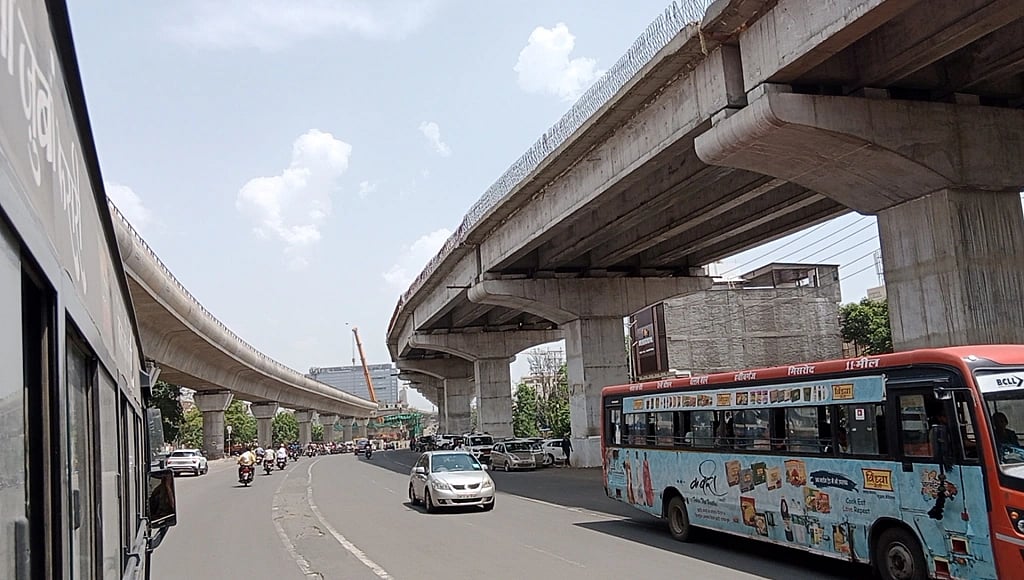
Bhopal (Madhya Pradesh): After a unique Lok Path app to receive complaints of damaged roads, the Public Works Department (PWD) has come up with a Survekshan app to map all its roads.
The Bhaskarachaya National Institute for Space Applications and Geo-Informatics (BISAG-N), Gujarat, had developed this app for the PWD for free. States such as Maharashtra, Rajasthan, and Gujarat have also approached BISAG-N for similar apps.
Sources in the PWD said that all its engineers have a Login ID for the app. Through the app, roads would be mapped with details of their length, breadth, surface, etc. All the culverts will also be covered.
Once all the roads and culverts have been mapped, the department will have all the data of its roads on mobile, helping save time in preparing a Detailed Project Report (DPR) or planning new construction work. The PWD has around 68,000 km of roads in the state.
Engineer-in-Chief, PWD, K.P.S. Rana said to Free Press that data of the roads will be used in preparation of DPRs of construction works.
In the second phase of the app, government buildings and bridges constructed by the PWD would be covered.
Geo-location of black spots on Lok Path
A senior PWD officer said that the Lok Path app would also carry geo-locations. It will have information on black spots, thus helping avert road accidents. Along with this, the geo-location of roadside basic amenities such as fuel stations and toll plazas, etc, would be on it. This will help users drive with ease.
