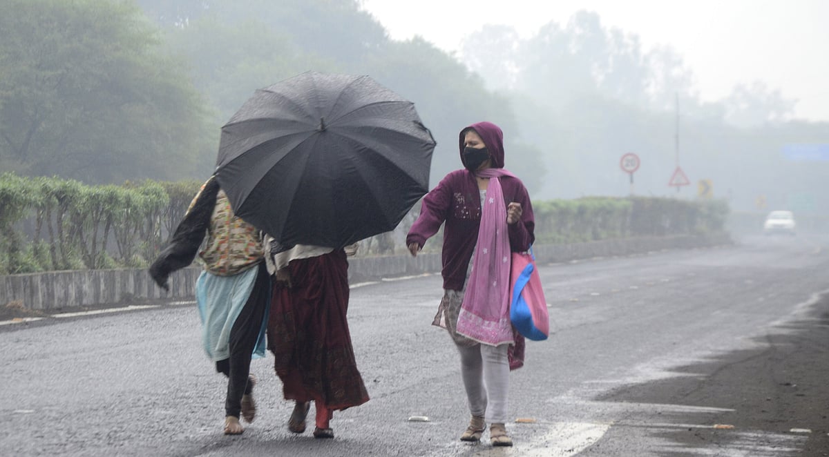
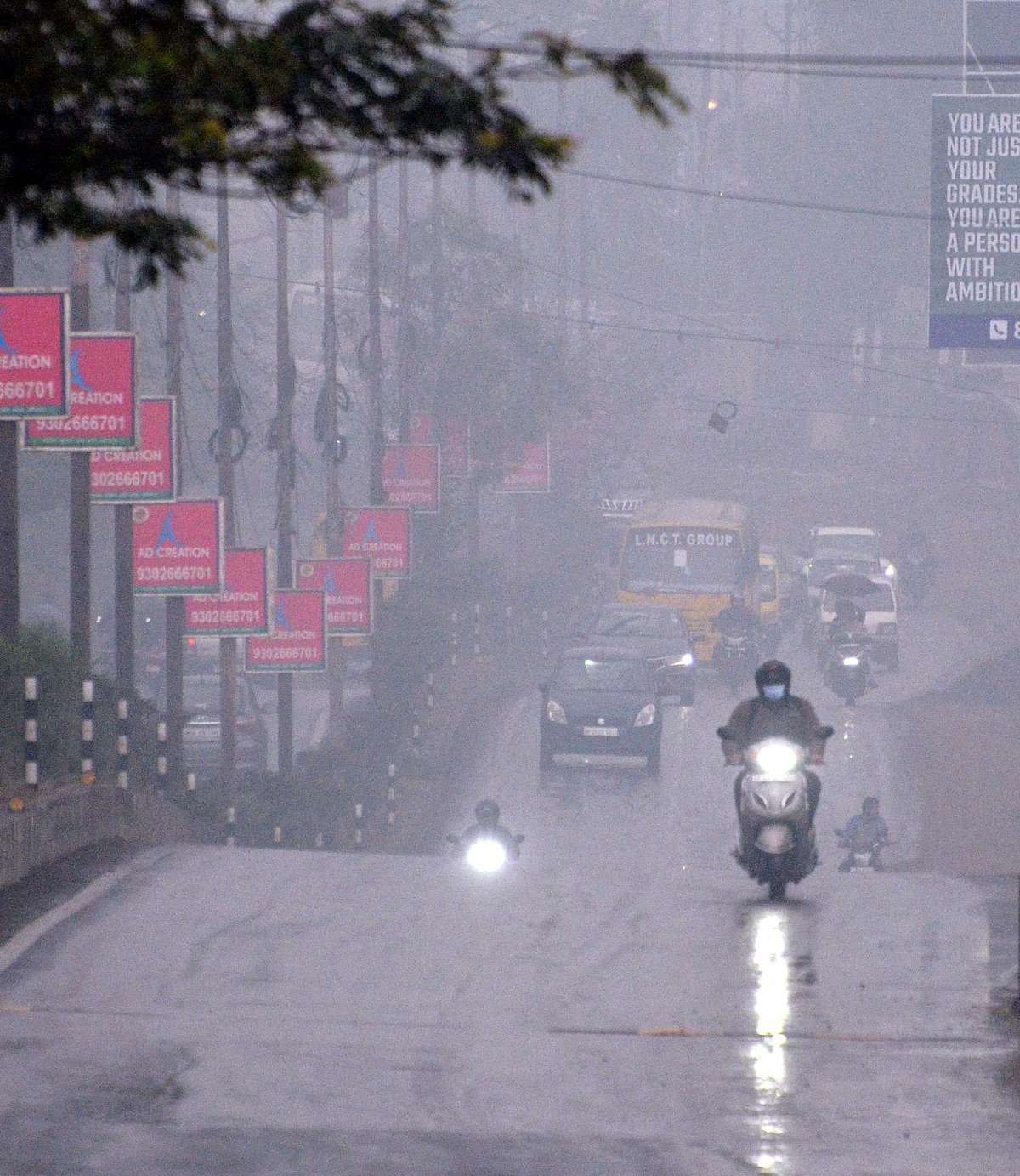
BHOPAL: Rain coupled with hail brought a sharp drop in temperature in many parts of the state, according to Meteorological department officials. Bhopalites woke up to a cold morning on Tuesday, with the maximum temperature seeing a drop by 8.5°C and settling at 17.2°C. The city Bhopal witnessed light drizzle in the morning .Sharpest drop of 9.9°C in the mercury was recorded in Sagar where the day temperature dipped to 16.5°C. Thick fog enveloped cities during morning hours and the condition is likely to prevail for the next couple of days. The MeT has forecast temperature going further down after January 5. Senior meteorological department officer Dr GD Mishra said that with the disappearance of clouds, day and night temperatures are likely to fall further.
Dindori, Chhindwara, Umaria and Narsinghpur experienced hail storm with rain. The rainfall activities are attributed to the Cyclonic Circulation over the Rajasthan region. This system has already given rains over the northern parts and will now cover some areas of central India.
Rain is likely in Jabalpur, Shahdol, Rewa, Sagar, Gwalior and Chambal divisions in the next 24 hours. Besides, orange as well as yellow alerts have been issued warning of lightning with rain in Jabalpur, Shahdol, Rewa, Sagar, Gwalior and Chambal divisions.
Bhopal witnessed light drizzle in the morning on Tuesday | FP
According to the meteorological department, Western disturbance is over the northern belt. Cyclonic circulation is over Northeast Rajasthan, and a trough is extending from this cyclonic circulation to Vidarbha across Western parts of Madhya Pradesh
During the last 24 hours, light to moderate rain with few intense spells occurred over Southeast Rajasthan. Scattered light to moderate rain occurred over Western parts of Madhya Pradesh. Isolated light rain occurred over east Madhya Pradesh. During the next 24 hours, light to moderate rain may occur over many parts of Madhya Pradesh..
