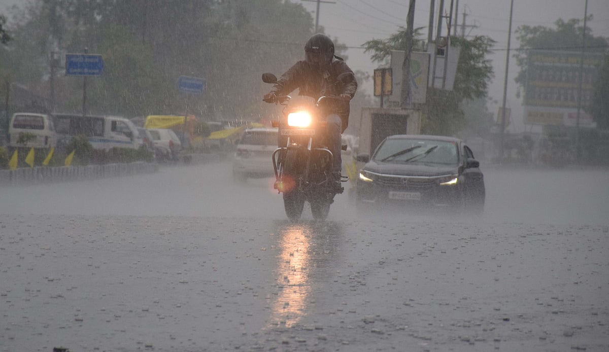
Bhopal (Madhya Pradesh): Heavy rainfall continued to lash various districts including Bhopal for the second consecutive day on Thursday. An alert was issued for heavy to very heavy rainfall in various districts in the state.
Alert for heavy to very heavy rainfall in districts include Dhar, Indore, Khargone, Alirajpur, Tikamgarh, Balaghat, Dewas. Heavy rainfall with lightning is likely at Bhopal, Betul, Rajgarh, Khandwa, Harda, Narmadapuram, Niwari, Sehore, Jhabua, Badwani, Burhanpur, Ujjain, Umaria, Chhindwara, Panna, Satna, Anuppur, Ratlam, Mandla, Shajapur, Dindori, Damoh, Narsinghpur, Chhatarpur, Agar, Katni and Seoni. In the last 24 hours, Singori recorded 150 mm rainfall while Vijayraghogarh, Anuppur, Nepangar recorded 100mm each.
Similarly, 70mm rainfall was recorded at many places like Jaitpur, Bhainsdehi, Khargapur, Baldevgarh and others. According to meteorological department, the weather activity will be more powerful in these areas.
Active to vigorous monsoon conditions are expected over Chhattisgarh and Madhya Pradesh. Very heavy rainfall over some parts of west and north Madhya Pradesh during this period may cause localised flooding and inundation of low-lying areas.


A low pressure trough developed in the north-west Bay of Bengal is closing into the coastline. The system will move westward and lie completely over land, covering the interiors of Odisha and south Chhattisgarh.
The cyclonic circulation continues to extend in the higher levels, having southward tilt with height An east-west oriented axis of dilatation extends from coastal Odisha to west Madhya Pradesh, cutting across Chhattisgarh and east Madhya Pradesh. The forward section of this axis has intense convergence spanning across west and north Madhya Pradesh.
