Maxar Technologies, a US space technology company, has published several satellite images showing what it says are new troop and equipment deployments in western Russia, and more than 100 vehicles in southern Belarus - all close to Ukraine's borders.
Russia and Belarus have been staging massive exercises on Belarusian soil in recent days. Neither has commented on the images.
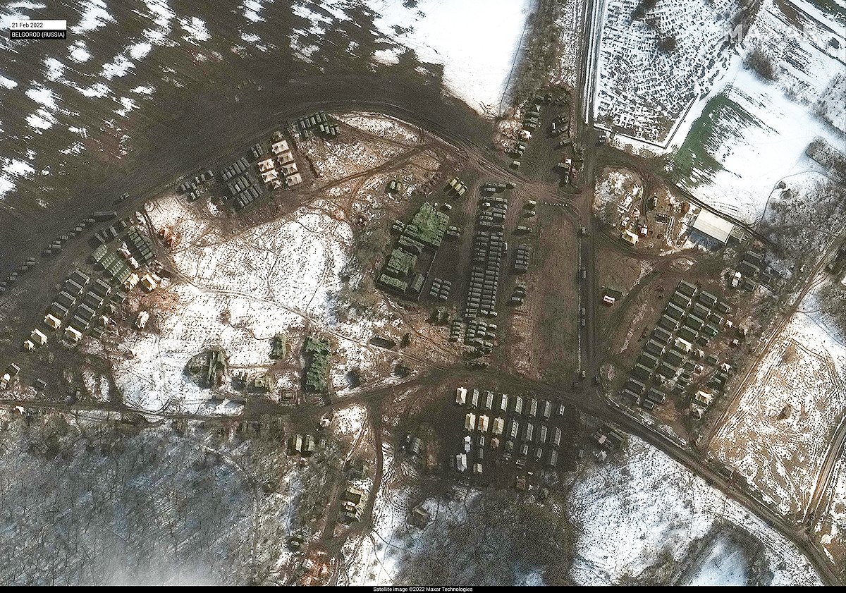
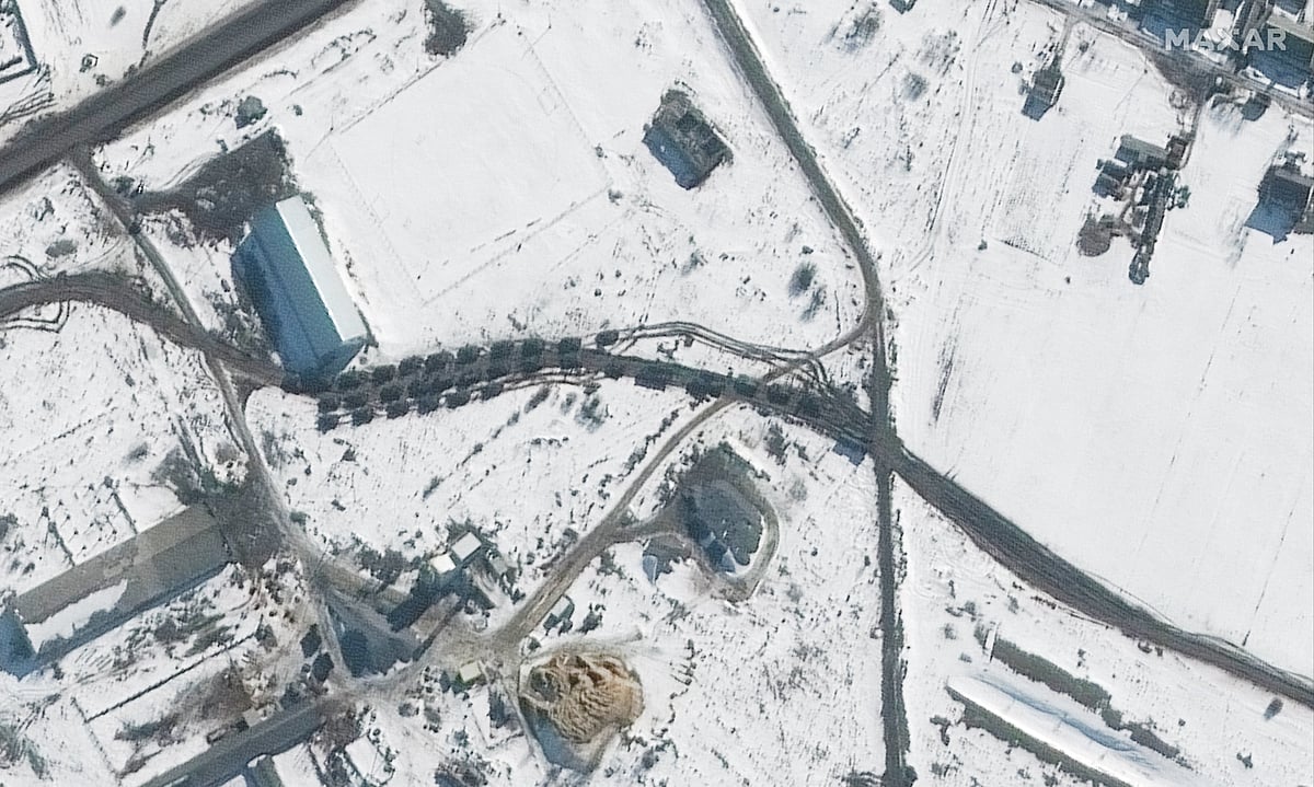
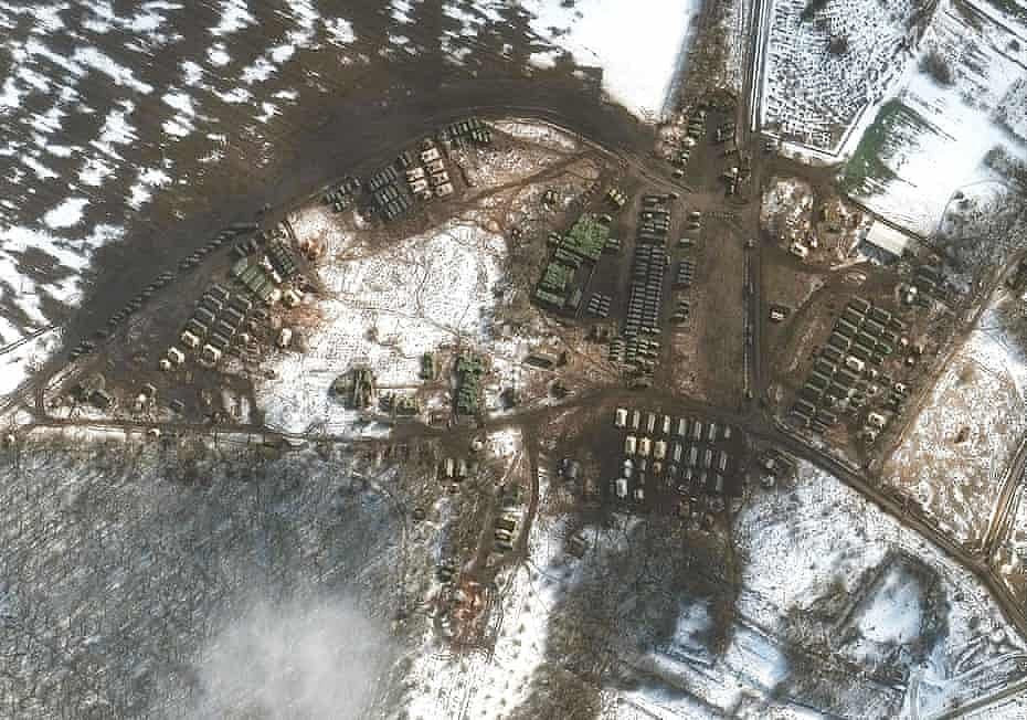
Several new deployments of troops and equipment have been established in rural areas southwest of Belgorod, less than 20 kilometers to the northwest of the border with Ukraine | Maxar Technologies
The pictures, collected by Maxar over the past 24 hours, show deployment and movement of additional logistics and supplies in southern Belarus and at multiple sites in western Russia near the Ukrainian border.
The new activity includes more than 100 vehicles and dozens of troop tents at a small airfield near Mozyr in southern Belarus. The airfield is located less than 40 kilometres from the Ukraine border.
Heavy equipment transporters (HETs), which are used for transporting tanks, artillery, and heavy equipment were seen approximately 40 kilometers to the east of the border with Ukraine.
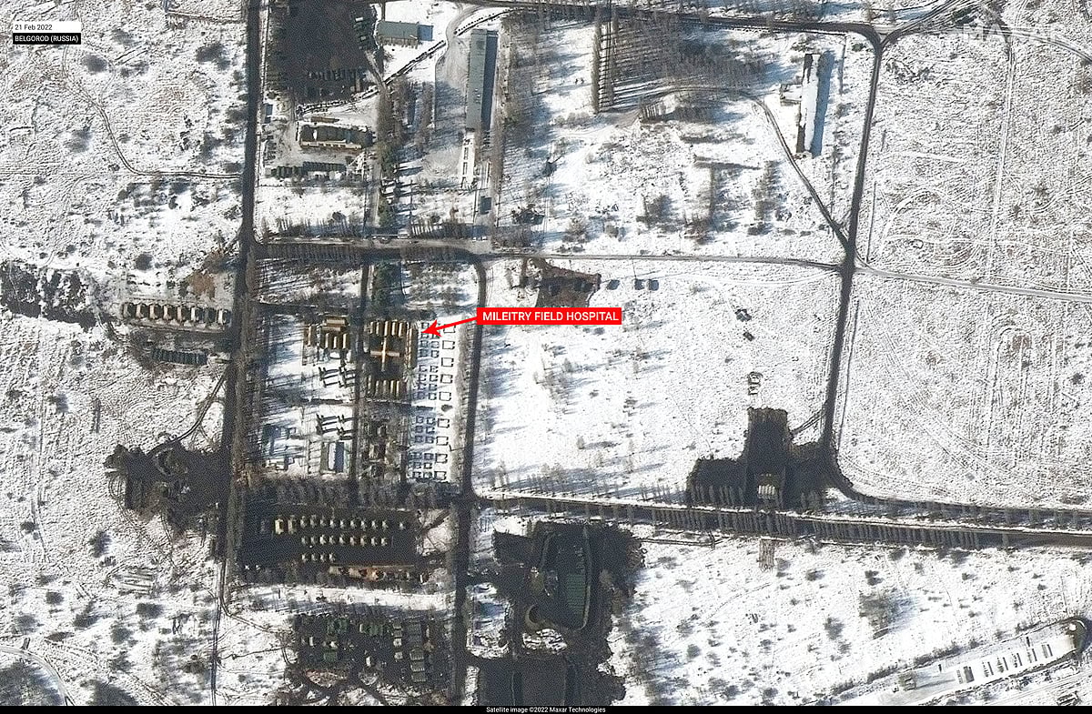
A new field hospital has been added to a military garrison on the western outskirts of Belgorod | Maxar Technologies
Before commercial satellite imagery became widely available and distributed online, Russia, the United States and other powers could largely hide their most sensitive military movements and deployments from near real-time public scrutiny. Although the public now can obtain a better view, this imagery is not nearly as precise, comprehensive or immediate as what the U.S. military can collect.
The U.S. military and intelligence agencies can piece together a better picture of what’s happening by combining satellite imagery with real-time video as well as electronic information scooped up by aircraft such as the Air Force’s RC-135 Rivet Joint, not to mention information gathered from human sources. The U.S. government also contracts with commercial satellite firms for imagery as a supplement and to ease the strain on imagery collection systems needed for other top-priority information.
Commercial satellite images, as a snapshot in time, do not provide indisputable evidence of exactly what the Russian military is doing or why.