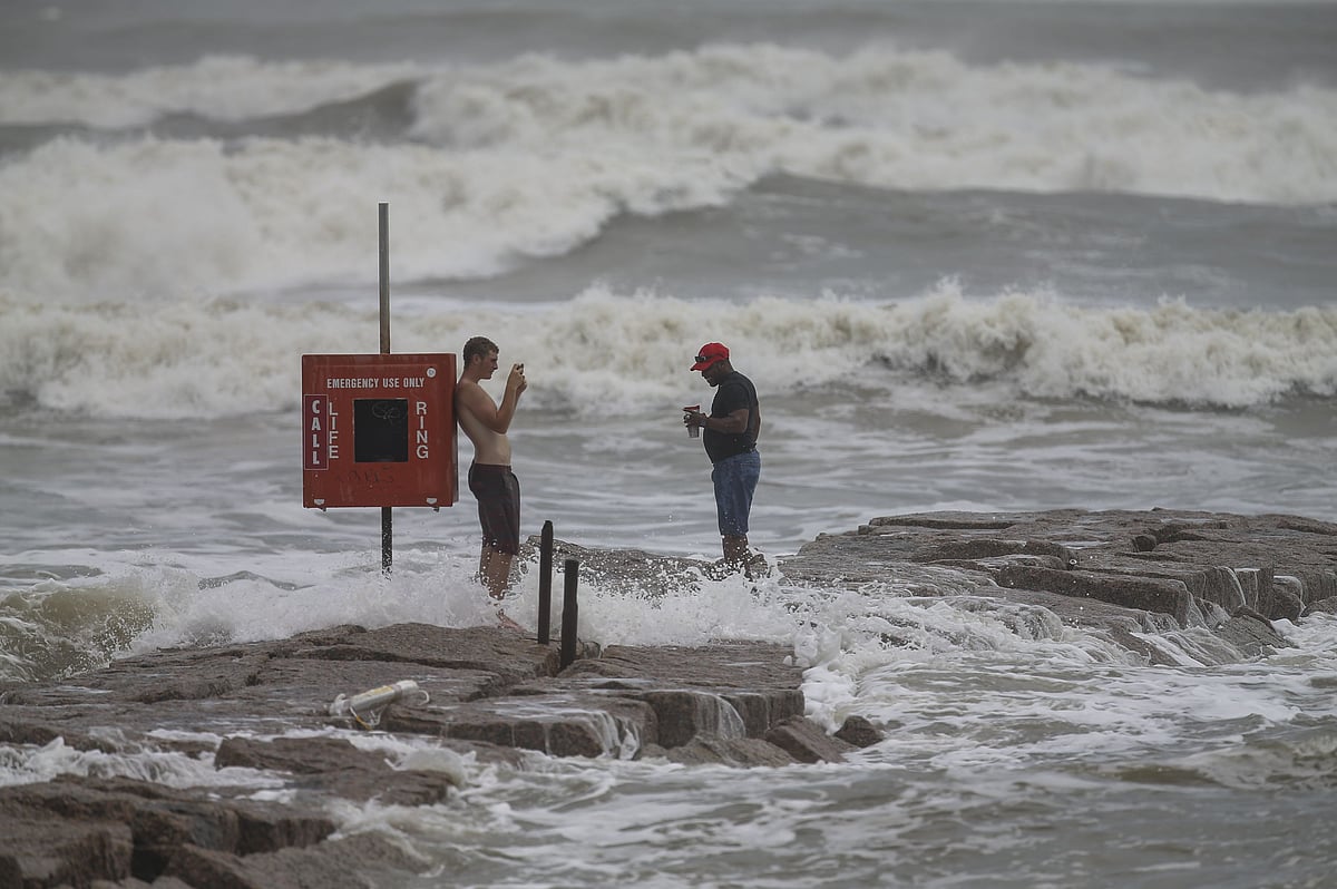
Hurricane Laura made landfall in southwestern Louisiana early Thursday after strengthening into an "extremely dangerous" Category 4 classification, with the US authorities warning of potentially catastrophic impacts.
The National Hurricane Center said that Laura, packing 240 km per hour sustained winds, brought a "catastrophic storm surge, extreme winds and flash flooding" to the state.
It intensified rapidly into a Category 4 hurricane as it barreled toward the Louisiana and Texas coasts and was on the verge of becoming a Category 5, the most powerful classification, when it hit land.
Forecasters said even stronger winds were possible that could rip apart buildings, level trees and toss vehicles like toys.
Destructive storm surge and damaging winds will affect areas near the site of landfall.
Hurricane Laura is also an inland flood risk as far north and east as Arkansas and the Ohio and Tennessee valleys. Isolated tornadoes are also expected from Laura.
"As of right now, it looks like Houston will be spared from the major impacts and power outages. It could experience gusty, possibly tropical storm force, winds and stormy weather at times from the rainbands," according to the National Hurricane Center advisory.