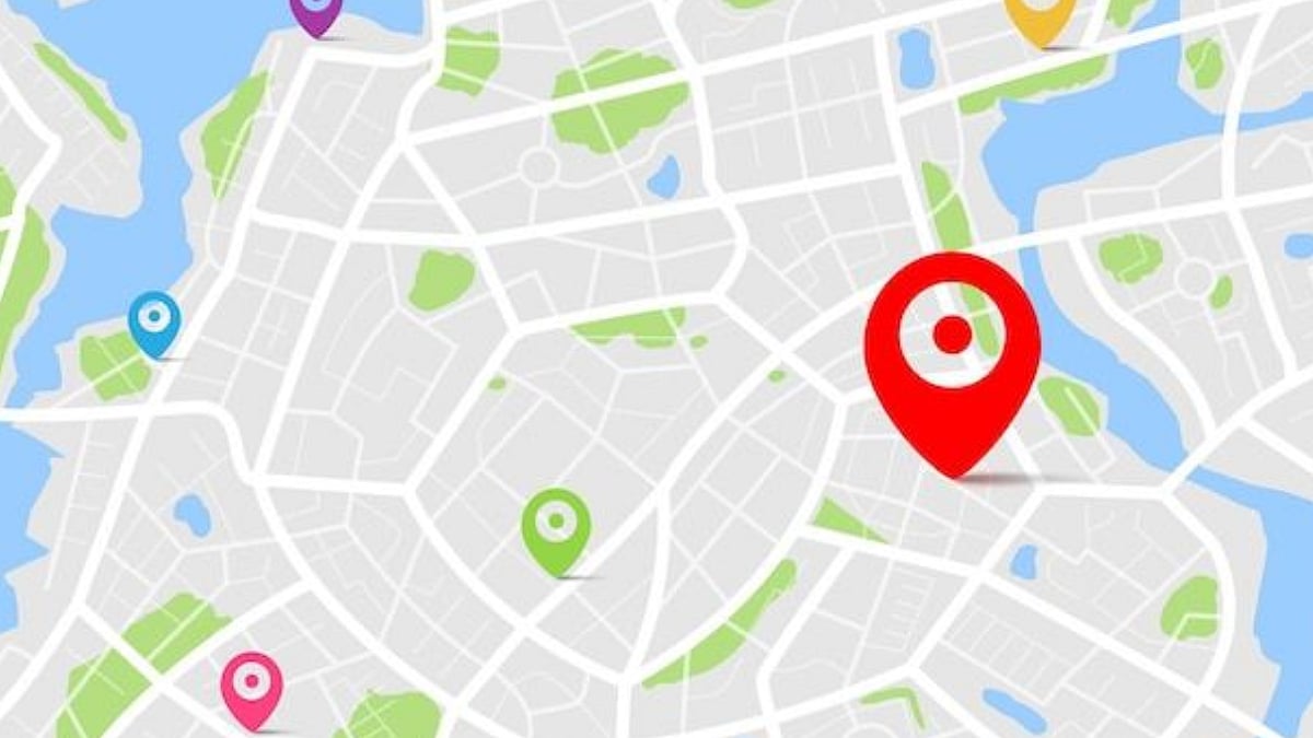
Mumbai: Brihanmumbai Electric Supply and Transport (BEST) undertaking to integrate with Google Maps to provide a better travel experience for Mumbai residents. BEST will now to provide real-time updates of the Buses across Mumbai's roads, allowing passengers to track Buses using Google Maps. The Undertaking plans to reduce the bus timings between two buses from 35-45 Minutes to 15-20 Minutes. Additionally, this initiative will offer alternative and efficient routes available in the city to help commuters reach their destinations more easily and quickly.
Currently, there is no option available to track the bus using the application Google Maps, but this initiative aims to fill the gap, according to a report by Hindustan Times. This initiative is expected to be implemented within the month in Mumbai.

BEST general manager SVR Srinivas said "We have had multiple meetings with Google, and we expect the service to go live for the public within a month. Passengers will be able to view our bus routes and plan their journey accordingly" as per report by Hindustan Times.

Here’s How The Integration Will Work:
Enter Starting Point and Destination: Commuters will input their current location and destination into Google Maps they will receive a suggested route along with live bus updates.
Route Recommendations: Google Maps will provide the most efficient travel options within the city, factoring in distance, time, and real-time GPS data.
Multi-Modal Options: The system will suggest different modes of transportation (BEST buses, metro, local trains, auto-rickshaws, and taxis), ensuring a smooth journey from start to finish, including last-mile connectivity.
Live Updates: Throughout the journey, Google Maps will deliver real-time updates, including bus arrival times, delays, and any route changes, for a hassle-free experience.
