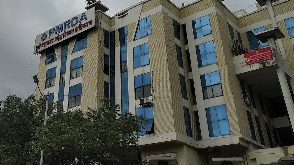
Pune: The Pune Metropolitan Region Development Authority (PMRDA) is introducing a Geographic Information System (GIS)-based digital monitoring system to track unauthorised constructions, government land encroachments and fire safety compliance across its jurisdiction.
The system will connect four departments through a single Survey Mobile App, allowing officers to record field inspections, verify property details and monitor violations directly from their locations.
The application will be used by the Land and Property, Unauthorised Construction, Building Permission and Fire departments. It will allow officers to upload Global Positioning System (GPS) coordinates, photographs, property details, inspection reports and other documents during site visits.
The system will also integrate existing building permission records with GIS mapping and satellite or drone-based change detection. This will help officials identify new constructions, compare them with approved building plans and check whether they have the required permissions.
PMRDA has already provided initial training to the officers and staff concerned. However, the authority has not specified when the system will become fully operational.
Satellite And Drone Images To Help Detect Illegal Constructions
One of the key features of the system will be the use of satellite and drone imagery to identify possible unauthorised constructions.
By comparing images captured at different times, officials will be able to identify new buildings, extensions to existing structures, changes in land use and construction on previously open plots.
Officers will be able to compare these findings with PMRDA's approved building permission records to identify unauthorised extensions, additional floors and changes in the permitted use of properties.
The application will allow officials to maintain case-wise records of inspections, notices issued, replies received, re-inspections and action taken. This is expected to help the authority track complaints and monitor the status of violations.
The development comes as PMRDA continues its action against unauthorised constructions and encroachments. The authority removed 919 illegal constructions and 153 unauthorised hoardings between January and September 2026.

Government Land And Encroachments To Get Digital Records
The Land and Property Department will use the application to map government land, reserved plots, properties owned by PMRDA, acquired land and plots proposed for acquisition.
Officers will be able to record the current use and possession of each property, along with details of access routes, fencing and encroachments. Photographs, geographical coordinates and inspection observations will also be linked to individual land parcels.
PMRDA plans to assign a unique property identification number (ID) to each plot. This will allow details such as land area, village, taluka, survey number, ownership, possession status and related documents to be maintained in one digital record.
The system will also help officials track changes in land use and identify cases where government land, reserved plots or other properties are being used without authorisation.
The application will be integrated with Continuously Operating Reference Stations (CORS)-linked Global Navigation Satellite System (GNSS) Rover equipment used by land surveyors. This will help connect actual land measurements with digital maps and property records.

Fire Safety Inspections To Be Monitored Digitally
The Fire Department will also use the application to record building inspections and monitor compliance with fire safety requirements.
Officers will be able to record details of buildings, including their location, usage, number of floors and fire no-objection certificate (NOC) application status.
The inspection records will cover fire hydrants, pumps, water storage tanks, alarms, smoke detectors, sprinklers, emergency exits, staircases, refuge areas and fire lifts. Access routes for fire vehicles and space for their movement will also be checked.
If deficiencies are found, officers will be able to upload geo-tagged photographs, record instructions issued to building owners and mention deadlines for corrective measures. The application will also track re-inspections and whether the deficiencies have been addressed.
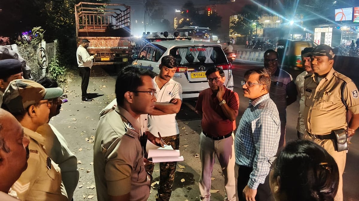
The inspection process will involve four stages, starting with the selection of a building through the GIS portal or building permission database. Officers will then conduct an on-site inspection and record the status of fire safety systems.
The next stages will involve recording deficiencies and their rectification, followed by verification of the findings and preparation of an inspection report. Officials said these reports will also support the fire approval process.
Building Permissions And Environmental Clearances
The Building Permission Department will use the system to verify whether actual construction matches approved plans. Officers will be able to check plot boundaries, building locations, setbacks, open spaces and construction progress during site inspections.
The application will also maintain records of completion status, occupancy certificates and changes arising from revised building permissions. Complaints related to construction can be geo-located and linked to inspection reports and subsequent action.
For large construction projects, townships and industrial or commercial developments, a separate compliance inspection module will be used.
It will record details of environmental clearances, their validity and compliance with prescribed conditions. This will include checks on plantations, green spaces, rainwater drainage, sewage treatment plants, rainwater harvesting systems, fire NOCs and other departmental clearances.
Explaining the initiative, Deepak Varade, Director of Development Permission and Planning at PMRDA, said the application would improve field-level data collection and coordination among the four departments.
He said officers would be able to record department-specific information during site inspections, making GIS-based verification, case management and coordination more streamlined.
The authority already uses GIS mapping and drone surveys for urban planning and identifying unauthorised constructions. The new application aims to connect these digital records with ground-level inspections and departmental operations.