Several parts of Mumbai and neighbouring areas received light to moderate rainfall on Tuesday morning. However, the India Meteorological Department (IMD) in its 24-hour forecast has predicted moderate to heavy rainfall in city and suburbs with the possibility of very heavy rainfall at isolated places.
The IMD on Tuesday said that the island city, eastern suburbs and western suburbs recorded 46.01 mm, 41.2 mm and 53.28 mm rain, respectively, in the last 24 hours.
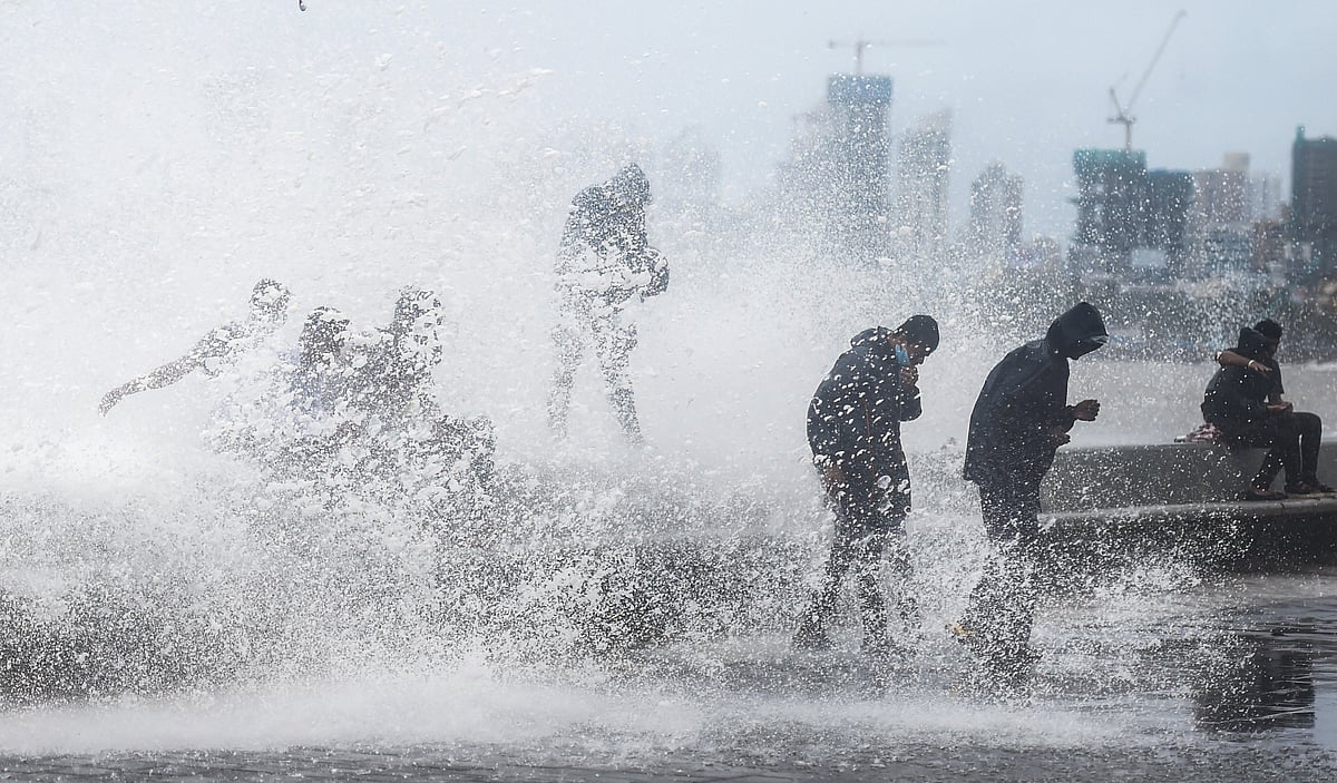
The weather forecast suggests that high tide will begin at 2.28 pm and the waves will reach a height of 4.39 metres. Also, a low tide of 1.61 metres is likely to occur at 8.26 pm today.
When there is a high tide during the rainy season, it becomes difficult for the flooded water to recede. Low tide helps floodwaters in the city to find an outlet to enter the seas.
IMD's Santacruz observatory on Tuesday recorded the maximum temperature at 31.5 degrees Celsius, while the Colaba observatory recorded a maximum temperature of 28.6 degrees Celsius. The Santacruz observatory in the western suburbs recorded a minimum temperature of 25 degrees Celsius, while the Colaba observatory recorded a minimum temperature of 25 degrees Celsius.
Meanwhile, there continues to be an orange alert in place for Mumbai and Thane for July 12, July 14 and July 15 (heavy to very heavy rainfall), while it has been downgraded to yellow alert (heavy rainfall) on July 13 and July 16.
IMD on Tuesday said that the Southwest monsoon has advanced into Delhi today. Monsoon has finally arrived in the national capital with parts of Delhi receiving heavy rain on Tuesday morning.
As per the India Meteorological Department (IMD), the minimum temperature in the city today will be 25.0 degrees Celcius, while the maximum temperature is unlikely to go beyond 33.0 degrees Celcius.
The IMD had earlier predicted thunderstorms with light to moderate intensity rain over South-West Delhi, South Delhi and parts of NCR and adjoining areas.
(With inputs from Agencies)