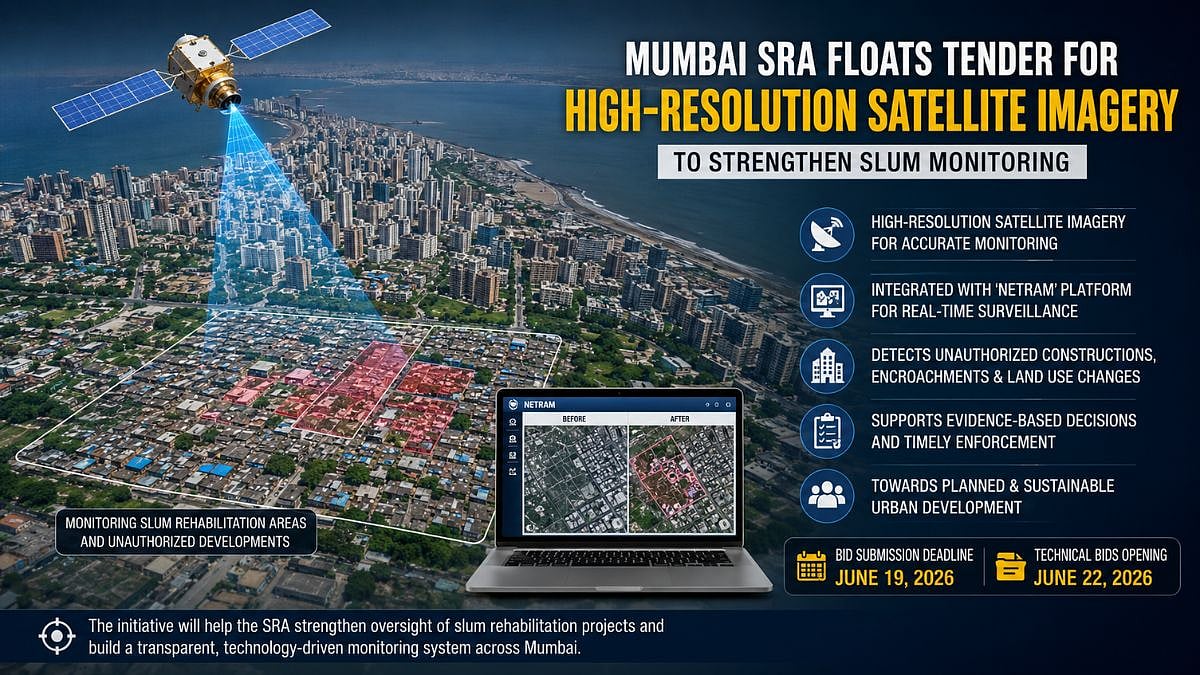
Mumbai, June 11: In a move aimed at enhancing surveillance of unauthorized developments and improving urban planning, the Slum Rehabilitation Authority (SRA) has invited bids for the procurement of High-Resolution Satellite Imagery (HRSI) covering the Brihanmumbai area.
Geospatial technology to strengthen monitoring
The proposed initiative is part of SRA's broader strategy to leverage geospatial technology for monitoring slum rehabilitation areas and tracking changes in land use across the city.
Officials said the imagery will be integrated with the authority's existing digital monitoring platform, "Netram", which was developed in collaboration with the Bhaskaracharya National Institute for Space Applications and Geo-Informatics.
The Netram web portal and mobile application currently allow officials to visualize and compare satellite images captured during different periods, helping detect new slum structures, encroachments and changes in land use patterns. The fresh procurement is intended to provide updated imagery datasets that can be used for regular monitoring and enforcement activities.
Enhanced oversight for slum rehabilitation projects
According to the Request for Proposal (RFP) issued by the authority, the updated satellite imagery will support evidence-based decision-making and help strengthen oversight of slum rehabilitation projects being implemented under SRA's jurisdiction. The authority oversees areas declared as slum rehabilitation zones as well as locations that fall under deemed rehabilitation provisions.
Officials said access to periodically updated imagery is expected to improve the authority's ability to identify unauthorized developments at an early stage and take timely action.
Interested bidders can submit proposals until June 19, while technical bids are scheduled to be opened on June 22.
The selected agency will be responsible for supplying high-resolution satellite imagery datasets that can seamlessly integrate with the Netram platform.
Also Watch:
The initiative aligns with SRA's objective of creating planned and sustainable urban settlements for slum residents while ensuring effective monitoring of redevelopment and rehabilitation activities across Mumbai.
To get details on exclusive and budget-friendly property deals in Mumbai & surrounding regions, do visit: https://budgetproperties.in/