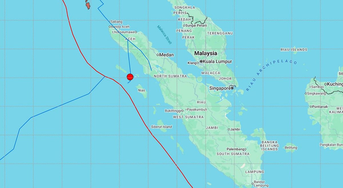
A strong earthquake measuring 6.2 on the Richter scale struck the Indonesian archipelago at 10:26:47 IST on March 3, 2026, prompting swift monitoring by global seismic agencies. India’s National Centre for Seismology confirmed the quake, stating that it originated deep beneath the Earth’s surface within Indonesia’s seismically active zone.
The epicentre was located in a region known for frequent tectonic movements. Experts noted that while the magnitude was significant, the depth of the earthquake likely reduced the risk of severe surface destruction. Authorities in Indonesia, along with the Pacific Tsunami Warning Center, have not issued any tsunami alert following the tremor.
Indonesia’s Meteorology, Climatology, and Geophysics Agency (BMKG) has advised residents, particularly in coastal regions, to remain alert for possible aftershocks. The country lies along the Pacific “Ring of Fire,” where multiple tectonic plates, including the Indo-Australian, Eurasian and Pacific plates, intersect, making it highly prone to seismic events.

There were no immediate reports of major damage or casualties. However, emergency teams are conducting assessments near the epicentre. Residents in high-rise buildings reported brief swaying. Authorities continue to urge people to follow safety protocols during aftershocks and monitor official updates.
