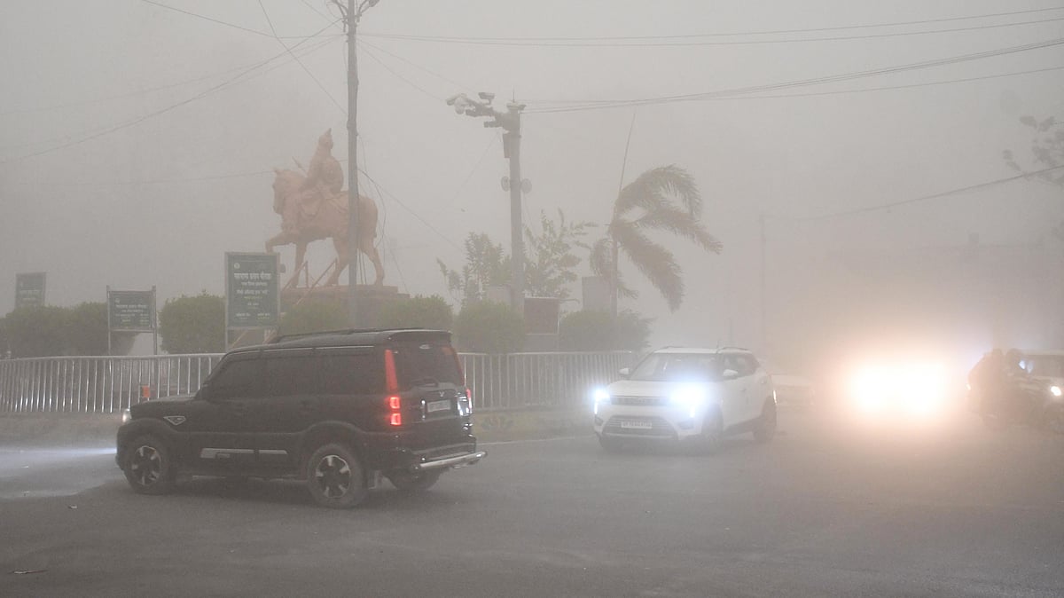
Lucknow: What turned an ordinary pre-monsoon weather system into a deadly thunderstorm that tore through Uttar Pradesh, killed 117 people and unleashed cyclone-like winds of up to 130 kmph across districts? Meteorologists point to a rare combination of atmospheric factors that allowed the storm to sustain, regenerate and intensify as it crossed the state.
Rajanikanth Poolla, an independent weather analyst, said in his analysis that the thunderstorm system began over Punjab early Wednesday morning and entered Uttar Pradesh around 9 am before travelling southeastward across almost the entire state. Unlike typical summer thunderstorms that weaken within hours, this system survived through the day, strengthened over central and eastern UP including Prayagraj, and later merged with storms over Jharkhand and Bihar before dissipating late at night.
One major reason behind the storm’s severity was its unusual structure. Radar observations showed that after crossing Shahjahanpur, the storm split into two independent cells moving parallel to each other. Such splitting behaviour is often associated with supercell-like thunderstorms, among the most powerful weather systems capable of producing destructive winds, lightning and widespread damage.
The storm also managed to keep rebuilding itself. According to meteorological analysis, strong downdrafts generated by the thunderstorm forced cold air downward, which then lifted warm air ahead of the storm line. This process continuously triggered fresh thunderstorm cells downstream, enabling the system to travel long distances without collapsing.
Atmospheric moisture played a critical role as well. Experts noted that moisture levels and dew point gradients increased after the storm crossed Lucknow. This allowed the system to absorb more humid air, adding fuel to the thunderstorms and helping them gain strength as they moved eastward.
The broader weather setup over north India further created favourable conditions for a severe event. The storm tracked along a trough induced by an active western disturbance. Accelerating winds at mid-atmospheric levels, combined with jet stream support in the upper atmosphere, created strong divergence aloft, an important ingredient for sustaining deep convective storms.
Meteorologists also observed strong speed shear, meaning wind speeds increased sharply with altitude. While wind direction remained largely northwesterly across atmospheric layers, the increasing wind velocity with height created conditions that favour fast-moving and long-lasting thunderstorms.

Also Watch:
Satellite observations showed cloud top temperatures ranging between minus 70 and minus 75 degrees Celsius, indicating powerful vertical cloud growth. Experts said that although temperatures were not as low as those seen in some classic supercells, the lower tropopause height associated with the upper air trough likely enabled the storm to achieve severe intensity at lower altitudes.
The event has also raised questions over forecasting limitations. Rajanikanth noted that major global weather models, including GFS, ECMWF and GEM, did not indicate a widespread thunderstorm event of this magnitude over Uttar Pradesh. As a result, weather warnings failed to match the scale of the unfolding disaster.
Scientists say the tragedy underlines the challenge of predicting tropical pre-monsoon storms, where highly localised interactions between moisture, wind patterns and upper atmospheric conditions can rapidly transform a seasonal thunderstorm into a large-scale catastrophe.