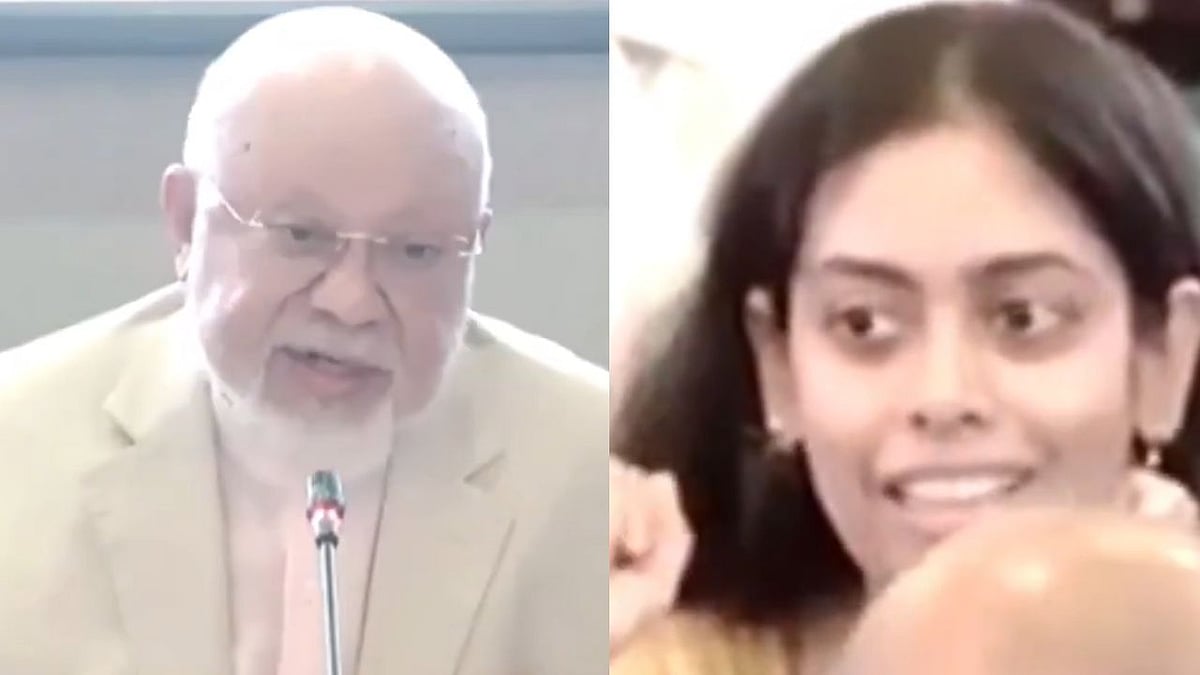
An Indian diplomat posted in Bangladesh objected to the display of what she described as an "incorrect" map of India during a foreign policy seminar in Dhaka after Jammu and Kashmir was allegedly shown as part of Pakistan.
A video of the incident has surfaced online, showing India's Second Secretary at the Indian High Commission in Dhaka, Puja Jha, raising the issue during the event and reiterating India's official position on the Union Territory.
'Jammu & Kashmir Is An Integral Part Of India'
During the seminar, Jha interrupted the proceedings to object to the map displayed on the screen.
According to reports, she stated, "The map of India displayed here is incorrect. Jammu and Kashmir is an integral part of India."
Her intervention underscored India's longstanding position that Jammu and Kashmir is an integral and inalienable part of the country and should be accurately represented in official or public forums.
Map Allegedly Depicted J&K As Part Of Pakistan
The map displayed during the seminar reportedly showed the Union Territory of Jammu and Kashmir as belonging to Pakistan, prompting the Indian diplomat's immediate objection.

India has consistently rejected any depiction that alters its internationally recognised boundaries and maintains that the entire Union Territory of Jammu and Kashmir is an integral part of the country.
Organiser Clarifies After Objection
Following Jha's intervention, former Bangladeshi diplomat Tariq A. Karim, who was associated with the event, reportedly clarified that the map had been used only for symbolic or illustrative purposes and was not intended to convey any political message or official position.
The clarification came immediately after the Indian diplomat raised concerns over the depiction.

