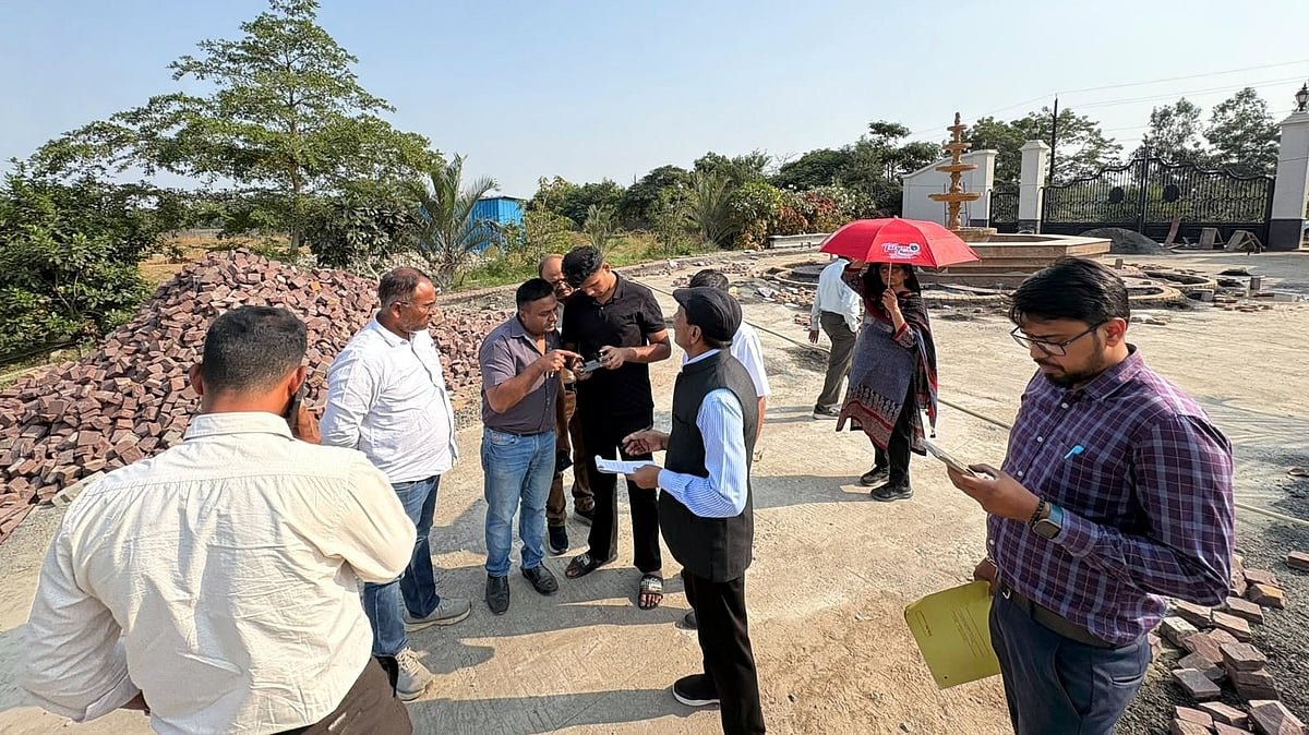
Bhopal (Madhya Pradesh): A committee constituted under the directions of the National Green Tribunal (NGT) completed a ground survey and physical verification of Kerwa Dam's boundaries and alleged encroachments on Thursday, a week before the next hearing scheduled for Oct 29.
The team reached the dam around 11.30 am and continued the exercise until late evening. It examined satellite imagery, available government records and topographical details, while drones were deployed to assess the dam's boundaries and identify possible encroachments. The findings are being compiled into a report for submission to the tribunal.
An earlier inspection had identified 33 alleged encroachments, including 18 on government land and 15 on private land. The latest survey aimed to verify their current status and examine structures within the dam's submergence zone. The committee has not yet disclosed how many structures were confirmed during Thursday's exercise.
Official records indicate that the reservoir's submergence area is approximately 462.15 hectares, with its boundary marked by 1,080 concrete blocks or pillars. The committee also checked the status of these markers.
The survey follows directions issued by the NGT on Sept 30 in a case filed by Rashid Noor Khan, who is also a member of the survey committee.
The tribunal directed the committee to finalise the full tank level (FTL) and buffer zone using drone surveys, satellite imagery, ground verification, government records and Public Health Engineering Department topographical and contour maps, along with the dam's height. The report will be placed before the NGT at the Oct 29 hearing.