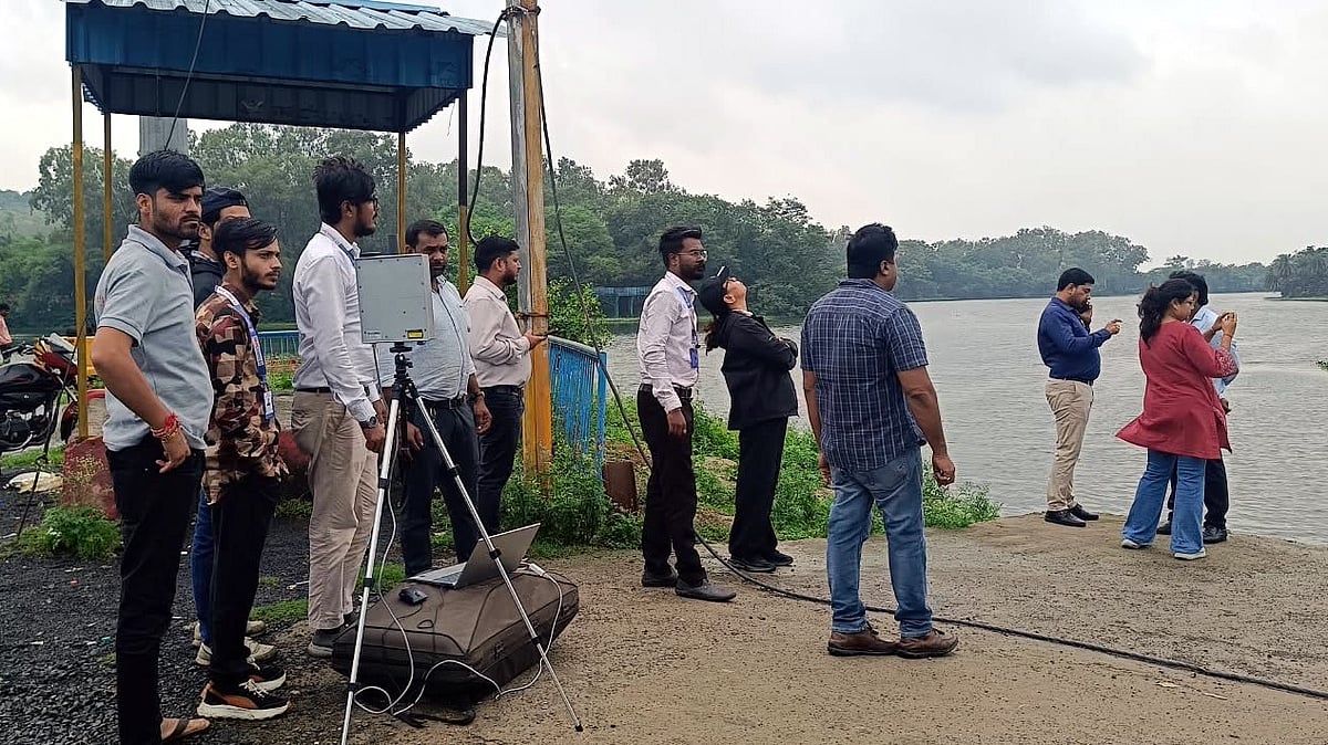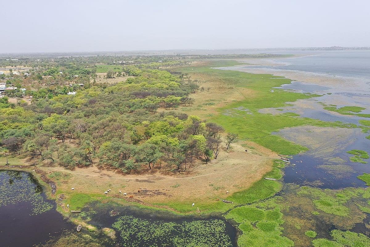
Bhopal (Madhya Pradesh): The NGT-directed drone survey to verify the actual Full Tank Level (FTL) of Bhoj Wetland continued for the second consecutive day on Sunday but the ground-to-air team faced a major challenge in locating old boundary markers.
At several spots, including Khanugaon, markers indicating the FTL and green belt were not visible, while even some Municipal Corporation officials and revenue inspectors were unaware of their locations.
The team had to wade through water and mud to search for the old markers. Where the markers could not be located, their positions will be cross-checked with official records.
Separately, the Bairagarh SDM circle demolished permanent structures including roads and gates, in three illegal colonies at Bairagarh Kalan on Sunday.
MP Pollution Control Board Regional Officer Nitesh Chaurasia said that if boundary markers are not found, their locations would be verified through official records.
He added that the water spread identified through drone imagery was being marked as the FTL.
7-km stretch covered on day-1
According to the report of Saturday's survey, around seven kilometres of the lake boundary had been measured. Sunday's survey report is expected on Monday.
Ground-truthing was conducted at the under-construction cruise site and Army Sports Area in Khanugaon, Kohefiza village, Fiza Farm in Halalpura, behind Landmark Marriage Garden and near Chirayu Hospital.
At Fiza Farm, the team found a concrete bridge with water extending beyond it.
Behind Landmark Marriage Garden, debris and landfill material up to around six feet high had raised the roadside level despite waterlogging in the surrounding area. Fill material was also found near a large marriage garden and its parking area.
Drone shifted to Bhadbhada
The team had planned to launch the drone from Kohefiza, but ATC permission was not obtained. Bhadbhada Chowk was therefore selected as the alternative launch point, with the survey continuing until around 3 pm.
The Bairagarh area remains to be surveyed, while a drone survey of Chhota Talab is likely on Monday.
Water hyacinth and aquatic vegetation were found near the Karbala Pump House and Shirin River, while water was seen flowing over retaining walls at several locations.