Bhopal (Madhya Pradesh): A fresh exercise to determine the actual boundaries of Bhopal’s Bhoj Wetland including the Upper Lake began on Saturday following directions from the National Green Tribunal (NGT).
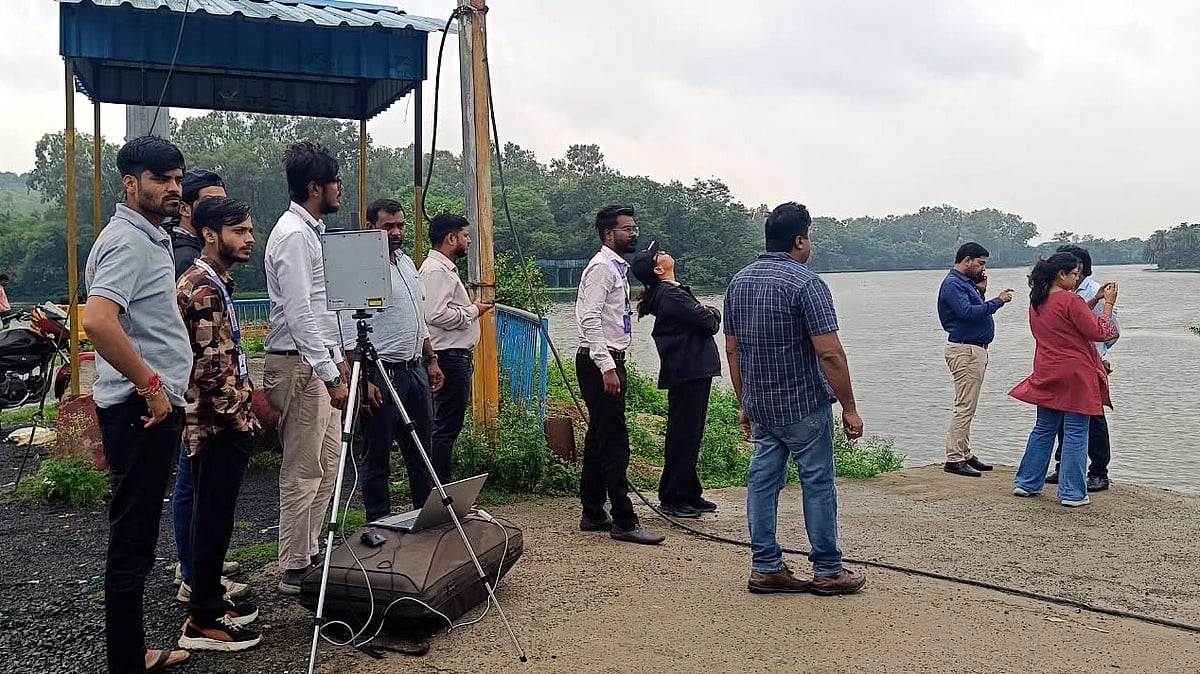
Under the supervision of Madhya Pradesh Pollution Control Board (MPPCB), a survey team used drones to capture aerial photographs and videos of the lake and its surrounding areas.
The MPPCB officials said that drone flights in the lake area require permission from Air Traffic Control from where clearances were obtained before Saturday’s operations.
The drones were flown from three designated locations: Bhadbhada Dam, Sair Sapata and Mugaliya Chhap to document the present extent of the water body and its adjoining areas.
The aerial data will be compared with existing records and previously demarcated boundaries to identify variations.
Although the survey was to begin at 9 am, it was delayed as team members and experts arrived late.
The first drone flight took place near Bhadbhada Dam at 11.30 am, following which aerial records were captured from Sair Sapata and Mugaliya Chhap.
The survey team is compiling photographs and videos from multiple points to establish a comprehensive picture of wetland’s current boundaries.
Bhadbhada gate closed amid survey
The survey coincided with changes in the operation of Bhadbhada Dam gates. Gate No. 9 was opened at 1.15 pm on Saturday.
Bhopal Municipal Corporation officials said Gate No. 3 was opened at 11 pm on Friday and closed at 3 am. Gate No. 6 was closed at 8 am. The demarcation team reached Bhadbhada in the morning.
Rain halts survey
The drone operation was suspended at 3.30 pm after rain occurred and adverse weather conditions made flights difficult. The team is expected to resume aerial mapping on Sunday if weather conditions permit.
Quote
“Survey will continue depending on weather conditions and flight permissions. The entire exercise will take about 15 days, after which the findings and aerial records will be used to determine the actual boundaries of wetland and guide further action.”
Nitesh Chaurasia, MPPCB regional officer