Islamabad: Days after the Office of the United States Trade Representative (USTR) shared an infographic featuring India’s full territorial map, including Pakistan-occupied Kashmir (PoK), Islamabad has confirmed that it formally took up the matter with US authorities, seeking an immediate correction.
Islamabad Demanded Immediate Correction
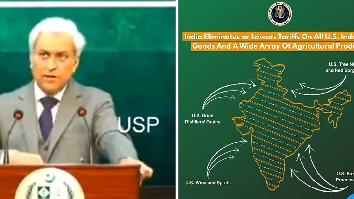
Addressing a press conference in Islamabad, Tahir Andrabi, spokesperson for Pakistan’s Ministry of Foreign Affairs, said the government had conveyed its strong concerns to Washington soon after the graphic was posted on X (formerly Twitter).
“Pakistan has formally taken up the matter with the United States regarding a map published by the US Trade Representative’s office that depicted Pakistan-occupied Kashmir as part of India. We have demanded immediate correction and removal of this erroneous map from all official platforms,” Andrabi said.
He added that the communication with US authorities took place shortly after the post was uploaded and before it was subsequently deleted. “We note that the post in question has since been deleted, and we will continue to monitor the situation closely,” he stated.
USTR Deletes Post
According to a report by the Pakistani daily Dawn, the USTR office removed the controversial map from its official social media account following Pakistan’s diplomatic protest.
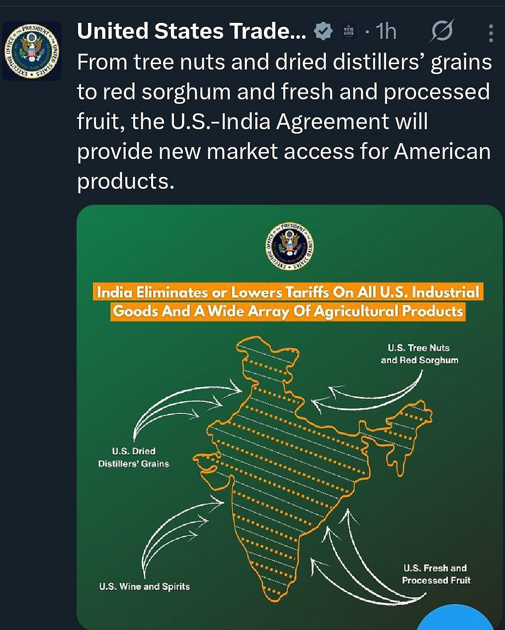
The now deleted USTR post |
Infographic Shows Jammu & Kashmir, Ladakh as Integral Parts of India
The infographic had depicted India with its full territorial claims, including the entire Union Territories of Jammu & Kashmir and Ladakh, without dotted lines, shading or separate demarcations for Pakistan-occupied Kashmir or China-administered Aksai Chin.
The representation aligns with India’s official political map used by the Government of India since the 2019 reorganisation of Jammu & Kashmir, under which the erstwhile state was bifurcated into two Union Territories Jammu & Kashmir and Ladakh.