Google Trends and social media platforms have been flooded with searches for tsunami and tsunami warning after stunning satellite images showing a massive tsunami forming in the open ocean went viral. The dramatic visuals captured global attention, but experts clarify that there is no new tsunami currently threatening land.
Instead, the images document a past event that has unexpectedly become one of the most important scientific breakthroughs in tsunami research.
The earthquake that triggered the waves
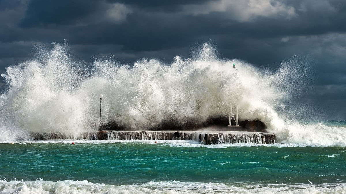
The event began on July 29, 2025, when a powerful magnitude 8.8 earthquake struck the Kuril-Kamchatka subduction zone near Russia’s Kamchatka Peninsula. In this tectonically active region, one plate slides beneath another, storing enormous pressure over decades.
When the fault finally ruptured, sections of the seafloor shifted suddenly, pushing vast amounts of water upward and launching a Pacific-wide tsunami. The waves travelled across the ocean at aircraft-like speeds before reaching coastlines, where some waves rose to more than 55 feet (17 metres).
Satellite captures a historic first
A rare coincidence turned the disaster into a scientific milestone. A joint NASA–French space mission satellite, Surface Water and Ocean Topography (SWOT), passed over the Pacific Ocean about 70 minutes after the quake, roughly 600 kilometres from the epicentre.
For the first time ever, scientists obtained detailed, high-resolution images of a large tsunami in deep water from space. Previously, tsunamis were mainly tracked using ocean buoys that measure pressure at single locations.
Scientists discover a hidden complexity
The satellite observations challenged long-standing scientific assumptions. Instead of a single smooth wave predicted by traditional models, researchers observed a complex pattern of energy spreading across the ocean.
Multiple smaller trailing waves, known as dispersive waves, followed the main surge. These subtle features had rarely been detected before and suggest that tsunami behaviour is far more complicated than existing forecasting models assume.
What it means for future tsunami warnings?
Scientists believe the findings could significantly improve tsunami prediction systems. Understanding how energy spreads across the ocean may allow earlier warnings and more accurate impact forecasts for vulnerable coastal regions.
While the viral images sparked concern online, they represent a scientific breakthrough rather than an active danger. Experts say the discovery marks the beginning of a new era in tsunami monitoring, where satellites may soon play a crucial role in protecting lives worldwide.