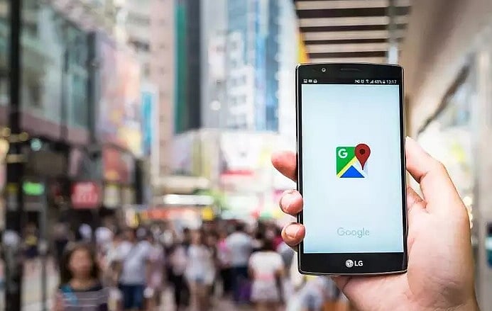
Mumbai: The much sought-after Street View feature, which allows viewers to view actual street imagery of locations as opposed to the standard satellite view from Google Maps, is finally available in India.
Tech giant Google on Wednesday announced that they have released the service in ten cities in India, including four in Maharashtra. Additionally, Google Maps will now also have information about speed limits in some cities as well as air quality updates from the Central Pollution Control Board.
"Starting today, Street View will be available on Google Maps in India with fresh imagery that we have licensed from our local partners – leading technology companies, Genesys International and Tech Mahindra. Our India launch marks the first time in the world that Street View data collection is being brought to life completely by local partners. At launch, our partners have covered over 150,000 km spanning 10 cities in India, including Bengaluru, Chennai, Delhi, Mumbai, Hyderabad, Pune, Nashik, Vadodara, Ahmednagar, and Amritsar. Thanks to these partnerships, we plan to expand this to more than 50 cities by the end of 2022," Miriam Daniel, Vice President, Google Maps Experiences said in an official statement on Wednesday.
Users wishing to access Street View can open the Google Maps service and click on the target cities, after which they will be able to view the neighbourhood, cultural hotspots and other locations like cafes and restaurants, with a panoramic view option available.
Speaking about the other features added to Google Maps, Daniel said, "To help support road safety efforts in the country, Google Maps will now show speed limits information shared by traffic authorities, starting with Bengaluru and Chandigarh. We are looking forward to partnering with more cities in surfacing speed limits info on Google Maps. In partnership with local authorities and data aggregators, we will also be providing information on road closures and incidents on Google Maps across eight cities in India, including Delhi, Hyderabad, Chandigarh, Ahmedabad, Kolkata, Gurgaon, Bangalore, and Agra, to help people make informed travel decisions and avoid congestion zones."
She added that Google has collaborated with the Central Pollution Control Board to make authoritative air quality information available on Google Maps.
"You’ll be able to access this information overlay by tapping the ‘Layers’ button at the top right and selecting the ‘Air Quality’ option," she said.
