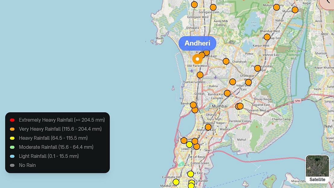
Mumbai's monsoon has turned severe this year. Heavy monsoon rains have inundated parts of the city, causing widespread flooding, traffic congestion and disruption to daily life, with the India Meteorological Department forecasting more heavy rainfall through the weekend. Waterlogged roads, delayed trains and unpredictable downpours have become a daily reality for commuters. In such conditions, a reliable app on your phone can make the difference between getting stranded and reaching home safely. Here are five verified apps that can help Mumbaikars navigate the flood season with more confidence.
1. Disaster Management BMC
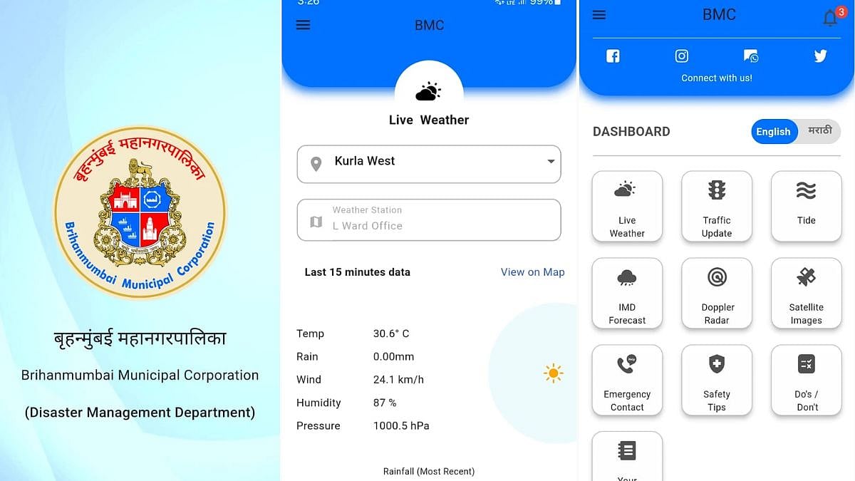
Developed by the Brihanmumbai Municipal Corporation, this app is designed specifically for Mumbai's monsoon emergencies. It offers push notifications for citizen alerts, information on vehicular traffic diversions, railway delays, and running status updates for BEST, Railways, Airways, Monorail and Metro. The app also provides alerts and warnings, including nowcasting, through the IMD, and an SOS facility to contact your near ones during emergencies. Users can find the address and details of the nearest police station, ward office, fire station, hospital, railway station, metro station, monorail station, flooding spots, temporary shelter and landslide prone areas.
Available on: Android and iOS
2. Sachet
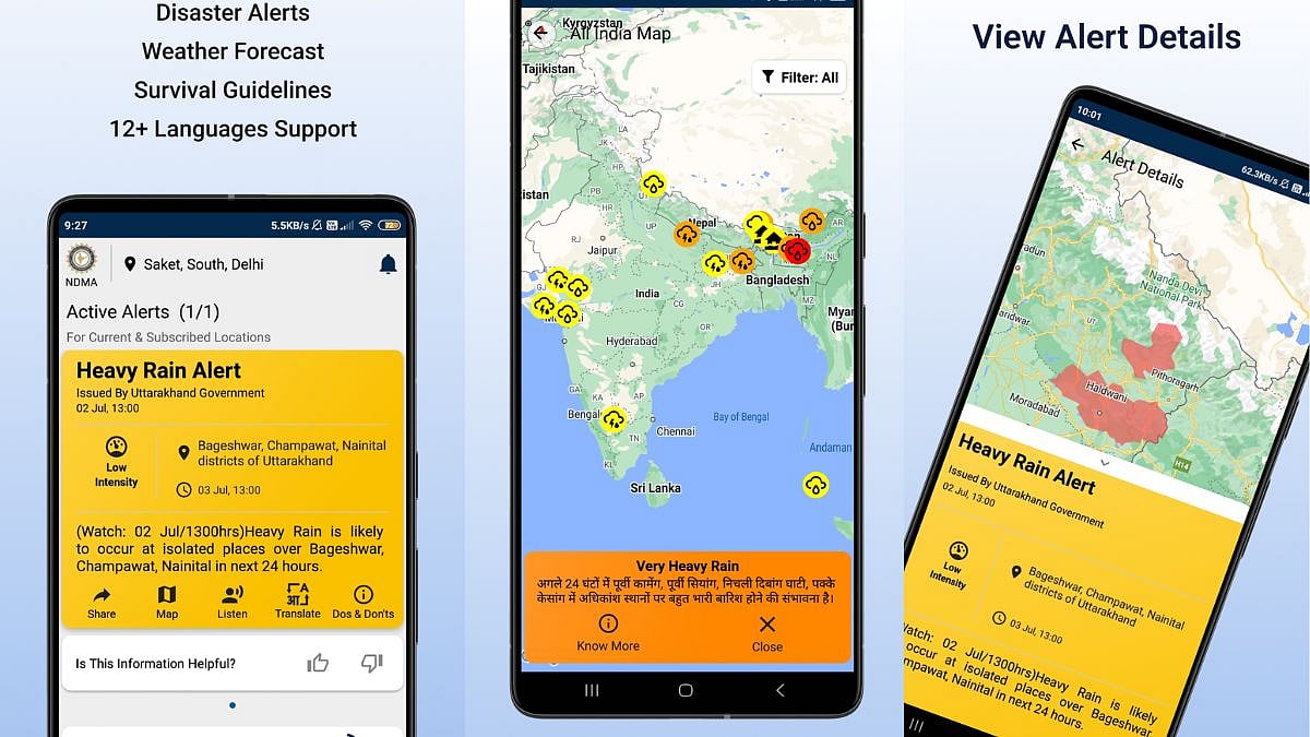
Built by the National Disaster Management Authority, Sachet is a pan-India early warning app that also covers Mumbai. It provides real-time, geo-tagged alerts for disasters like floods, cyclones, landslides and forest fires, using the Common Alerting Protocol for precise location-based alerts, and users can subscribe to alerts for specific states or districts. The app also delivers daily weather forecasts from the IMD, along with emergency helpline numbers and safety guidelines, and is available in 12 Indian languages with a text-to-speech feature.
Available on: Android and iOS
3. FloodWatch India
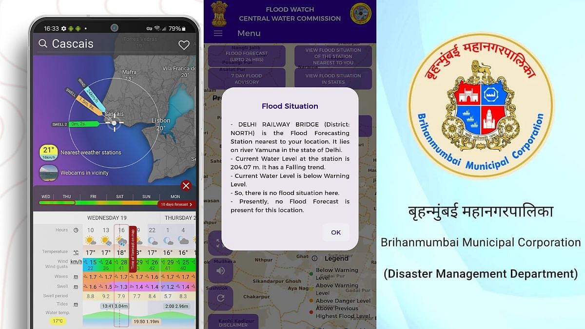
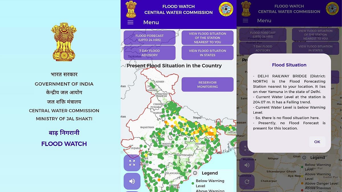
This app, run by the Central Water Commission under the Ministry of Jal Shakti, focuses purely on flood data rather than general weather. Version 2.0 of the app provides current information at 592 flood monitoring stations across the country, along with the storage positions of 150 major reservoirs, giving users an extensive overview of flood conditions. It uses satellite data analysis, mathematical modelling and real-time monitoring to provide flood forecasts up to seven days in advance, along with location-based risk assessments and emergency preparedness guidelines.
Available on: Android and iOS
4. m-Indicator
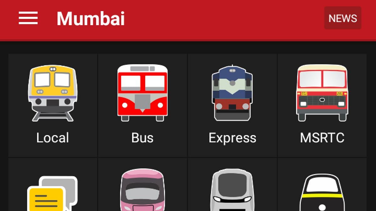
When tracks get waterlogged and train services are disrupted, knowing exactly what is running becomes critical. m-Indicator offers live train tracking of Mumbai's local trains, along with platform numbers and door positions at busy stations like Borivali, Virar and Kalyan. It also has a train chat feature for exchanging information on delays, cancellations and platform changes, along with bus routes and timings for BEST, NMMT, TMT and other operators. The app also includes a women's safety feature that can send automatic alert SMS messages, and works even without an internet connection for many of its core features.
Available on: Android and iOS
5. Windy
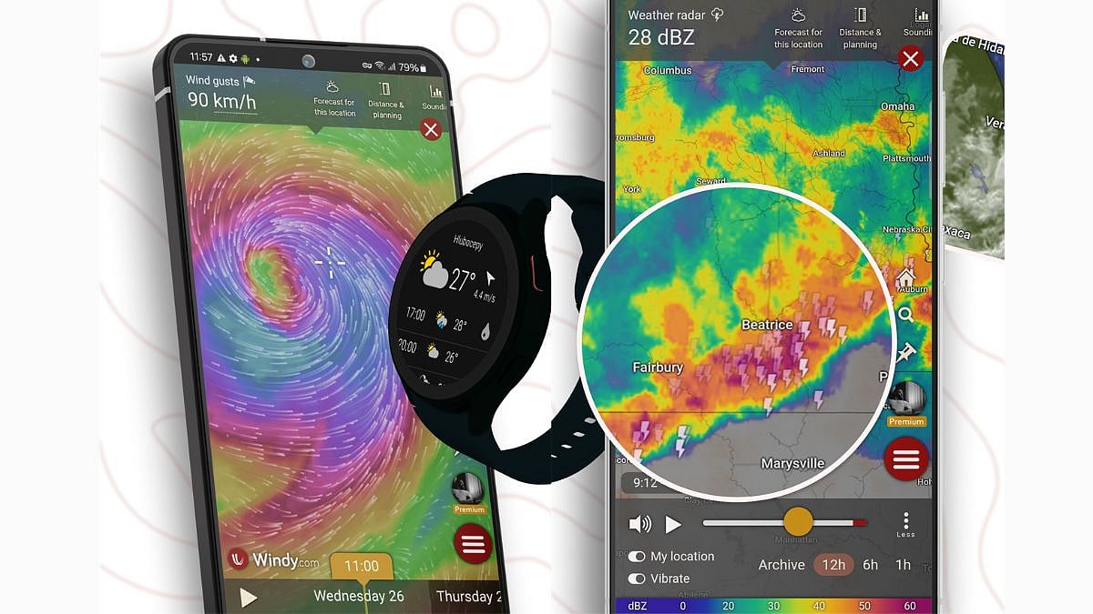
For those who want to see the rain coming before it hits their neighbourhood, Windy is a global weather visualisation app widely used during India's monsoon season. It displays observed wind and temperature, forecasted weather, and a doppler radar network covering large parts of Asia, along with over 50 global weather maps. Its radar sources include the IMD among other national meteorological agencies, and the app offers rain accumulation data, thunderstorm tracking and severe weather warnings.
Available on: Android and iOS
6. Mumbai Flood
This portal, developed by IIT Bombay's Interdisciplinary Programme in Climate Studies with support from the HDFC-ERGO IIT Bombay Innovation Lab, offers hourly rainfall predictions, live water-level data from monitoring stations in flood-prone spots like the Mithi River, and crowdsourced flood reporting from citizens. It can be accessed at mumbaiflood.in.
Available on: Android (web portal accessible on all devices; app currently Android only)