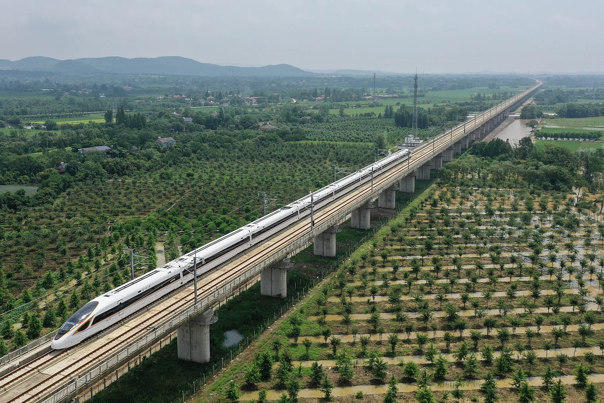

On Friday, two important things happened as far as the country's high speed rail is concerned. Firstly, the aerial LiDAR survey for the Mumbai-Nagpur bullet train initiated the detailed project report (DPR) process of this 736 kilometers long corridor. Secondly, the National High Speed Rail Corporation Limited (NHSRCL), on Friday, also signed an agreement with the Japanese government to lay tracks on the Vapi-Vadodara section of the Mumbai-Ahmedabad high speed corridor.
NHSRCL has begun the light detection and ranging (LiDAR) survey at Thane, which apparently could be the starting point of this bullet train corridor. “We started the LiDAR survey today till Nashik. In the coming days, we will go all the way till Nagpur via Aurangabad,” said an official from NHSRCL.
In this survey, an aeroplane fitted with state-of-the-art aerial LiDAR and imagery sensors took the first flight and captured the data related to the ground survey. This provides all the ground details and data in 3 to 4 months, wherein this process normally takes 10 to 12 months. The ground survey is a crucial activity for any linear infrastructure project, as the survey provides accurate details of areas around the alignment.
This technique uses a combination of laser data, GPS data, flight parameters and actual photographs to give accurate survey data. During the aerial LiDAR survey, 150 meters of the area around the proposed alignment will be captured. After the data is collected, a 3D topographical map of the corridor for the proposed alignment on a scale of 1:2500 will be available to design the vertical and horizontal alignment, structures, location of the stations and depots, land requirement for the corridor and identification of affected plots and structures.
“To provide clear pictures of the structures and other minute ground details, 100 megapixel cameras are being used for the LiDAR survey,” said an official. The proposed plan for the Mumbai-Nagpur corridor will connect the cities of Wardha, Pulgaon, Karanja, Malegaon, Mehkar, Jalna, Aurangabad, Shirdi, Nashik, Igatpuri and Shahapur.
Apart from this, NHSRCL also signed an agreement with the Japanese Railway Track Consultant Company Limited for the designs of high speed rail tracks. This will mainly be for the 237 kilometers long Vadodara to Vapi section for the Mumbai-Ahmedabad high speed rail corridor. The Japanese company will provide detailed design and drawing of the track bed, track and slab arrangement, and continuous welded rail, amongst others.
