The India–US interim trade framework announced in early February 2026 has sparked discussion beyond economics, with a recent post by the US Trade Representative showcasing the agreement alongside India’s full territorial map. The move underscores Washington’s subtle message to Islamabad, bringing its stand on Kashmir into sharper focus.
An official post by the US Trade Representative showed the agreement featured India’s full territorial map, including Jammu & Kashmir and Ladakh, a visual widely seen in India as a symbolic signal of US alignment and a pointed message to Pakistan.
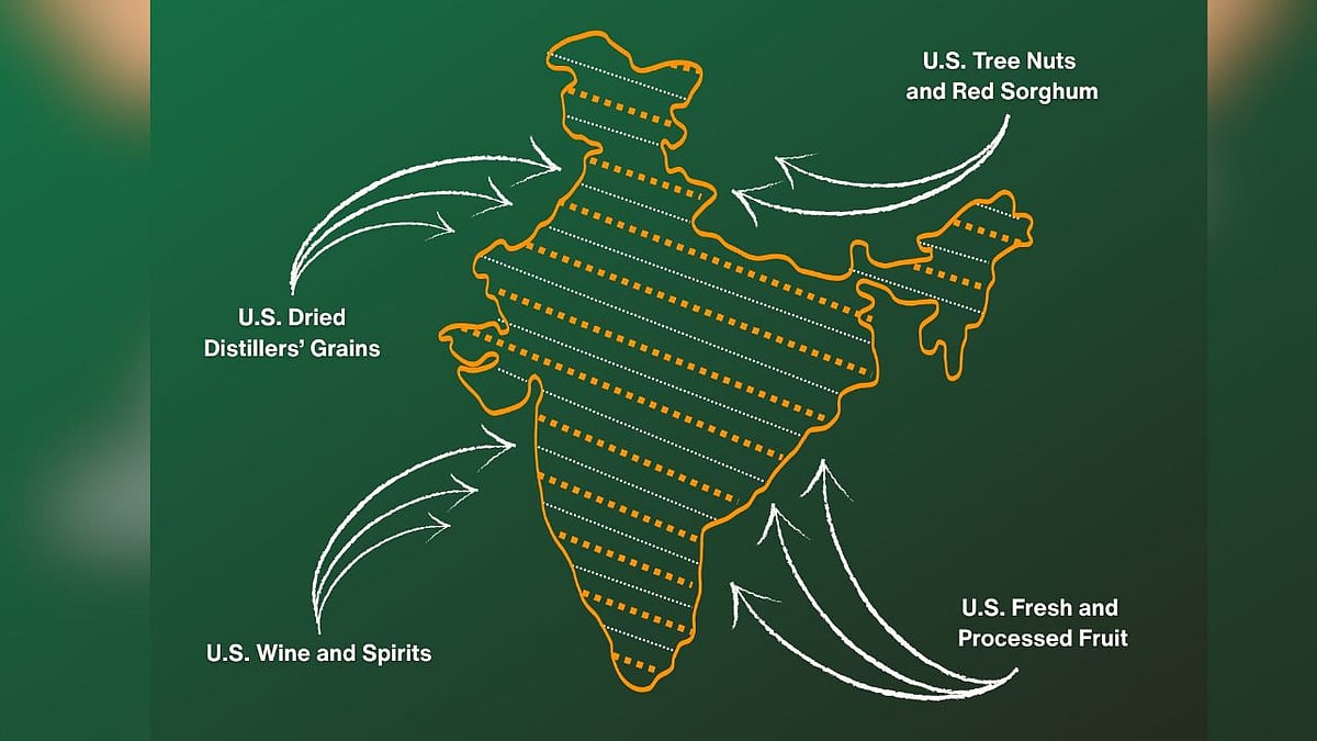
Infographic Shows Jammu & Kashmir, Ladakh as Integral Parts of India
The infographic shared by the USTR alongside the post. showed the Indian map with its full territorial claims, including the entire Union Territories of Jammu & Kashmir and Ladakh, without dotted lines, shading or separate demarcations for Pakistan-occupied Kashmir (PoK) or China-administered Aksai Chin.
The representation aligns precisely with India’s official political map used by the Government of India since the 2019 reorganisation of Jammu & Kashmir, where these regions are shown as integral parts of the country.
India-US Trade
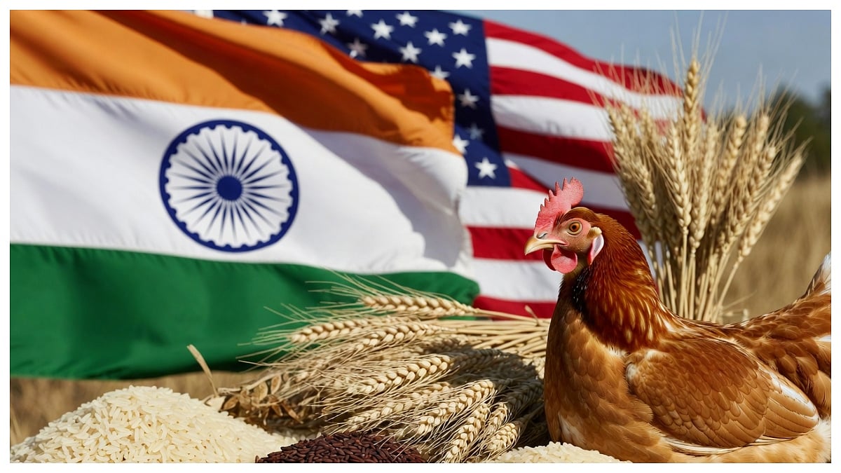
The India–US bilateral trade relationship entered a new phase in early February 2026 with the announcement of an interim trade framework aimed at easing tariff tensions and expanding market access.
As part of the February 6, announcement, the Office of the United States Trade Representative (USTR) shared a post highlighting agricultural gains under the interim framework.
The agreement allows American exporters, including tree nut, sorghum, and dried distillers’ grains producers, tariff-free or reduced-duty access to the Indian market. In exchange, US tariffs on Indian goods are set to be slashed from 50 per cent to 18 per cent, easing pressure on Indian exporters.
The post was captioned: “From tree nuts and dried distillers’ grains to red sorghum and fresh and processed fruit, the U.S.-India Agreement will provide new market access for American products,” accompanied by the map.
Historically, the United States has described Jammu & Kashmir as a disputed territory in official maps and statements, carefully maintaining neutrality in India–Pakistan relations. Against this backdrop, the USTR’s use of India’s full territorial map is being viewed by many as a powerful symbolic message particularly toward Pakistan delivered quietly but unmistakably alongside a major trade announcement.