In a move that has potentialm to escalate diplomatic friction between New Delhi and Beijing, China has officially established a new administrative unit named Cenling county in its sensitive Xinjiang region. While the announcement surfaced from the Xinjiang Uyghur Autonomous Region government on March 26, the strategic ripples are being felt acutely in India.
Positioned at the high-altitude crossroads where the Karakoram mountain range meets the borders of Afghanistan and Pakistan-occupied Kashmir (PoK), the creation of Cenling is more than a routine bureaucratic update. It represents a calculated attempt by Beijing to solidify its presence in a region where boundaries remain a primary source of bilateral discord.
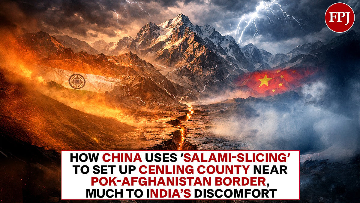
Where exactly is Cenling and why is its location a flashpoint?
The new county falls under the jurisdiction of the Kashgar prefecture, a historic hub of the ancient Silk Road that serves as China’s gateway to South and Central Asia.
Geographically, Cenling occupies a critical position near the Wakhan Corridor, a narrow, 74-km strip of Afghan territory that separates Tajikistan from PoK. By establishing the county seat in Xinhua township, an area developed specifically last year to lay the groundwork for this new district, China is pushing its formal governing apparatus right up to the edges of territories that India maintains are under illegal occupation or are part of its sovereign Union Territory of Ladakh.
The lack of disclosed "administrative divisions and boundaries" for Cenling has only added to the unease in New Delhi. By formalising governance in these frontier zones, China is essentially moving its public services, law enforcement, and military infrastructure closer to the Line of Actual Control (LAC).
This proximity to the Karakoram range and PoK makes Cenling a direct concern for Indian national security, as it anchors a permanent Chinese administrative footprint in a zone that is a cornerstone of regional stability.
What is the motive behind Beijing’s move?
Although the creation of Cenling is claimed to be driven by a blend of internal security fears and external economic ambitions, the fact is it is created on a territory claimed by India. That itself makes its illegal.
The so-called county sits along the G219 highway, a 10,000-km road that is central to the China-Pakistan Economic Corridor (CPEC). Because CPEC traverses through PoK—a project India has consistently opposed as a violation of its territorial integrity—the formalisation of Cenling is seen by New Delhi as a move to provide a "legal" domestic framework for projects that India considers illegitimate.
How does this fit into a larger pattern of territorial disputes?
Cenling is the third county China has carved out in Xinjiang in just over a year, following the establishment of Hean and Hekang counties under the Hotan prefecture.
This pattern has drawn sharp protests from India, as parts of these new administrative units fall within what New Delhi identifies as Ladakh. For instance, Hean county encompasses a significant portion of the Aksai Chin plateau. Although China has administered Aksai Chin since the 1962 conflict, India continues to view it as an integral part of its territory.
By creating a "belt" of these counties along the G219 highway, Beijing appears to be pursuing a policy of "salami-slicing"—incrementally changing the status quo on the ground through internal legislation and map-making.
This strategy aims to transform disputed frontiers into settled domestic districts, making any future diplomatic negotiations over the border increasingly complex.
What is India’s stance?
The Ministry of External Affairs (MEA) has been firm in its rejection of these manoeuvers, particularly following China’s recent attempts to rename places in Arunachal Pradesh.
MEA spokesperson Randhir Jaiswal stated that "assigning fictitious names" or manufacturing "baseless narratives" cannot alter the "undeniable reality" that these territories remain an inalienable part of India. India argues that such unilateral actions by China inject negativity into bilateral relations and actively undermine ongoing efforts to stabilise the situation along the LAC.
This administrative escalation comes at a delicate time, as both nations remain locked in a military standoff in Eastern Ladakh. For India, the creation of Cenling is a clear signal that Beijing is prioritising the reinforcement of its border claims over a mutual diplomatic resolution.
As China integrates these sensitive zones into its formal five-year transport and governance plans, the challenge for Indian diplomacy will be to counter this "cartographic aggression" while managing the security risks posed by a more entrenched Chinese presence on its northern and western doorsteps.