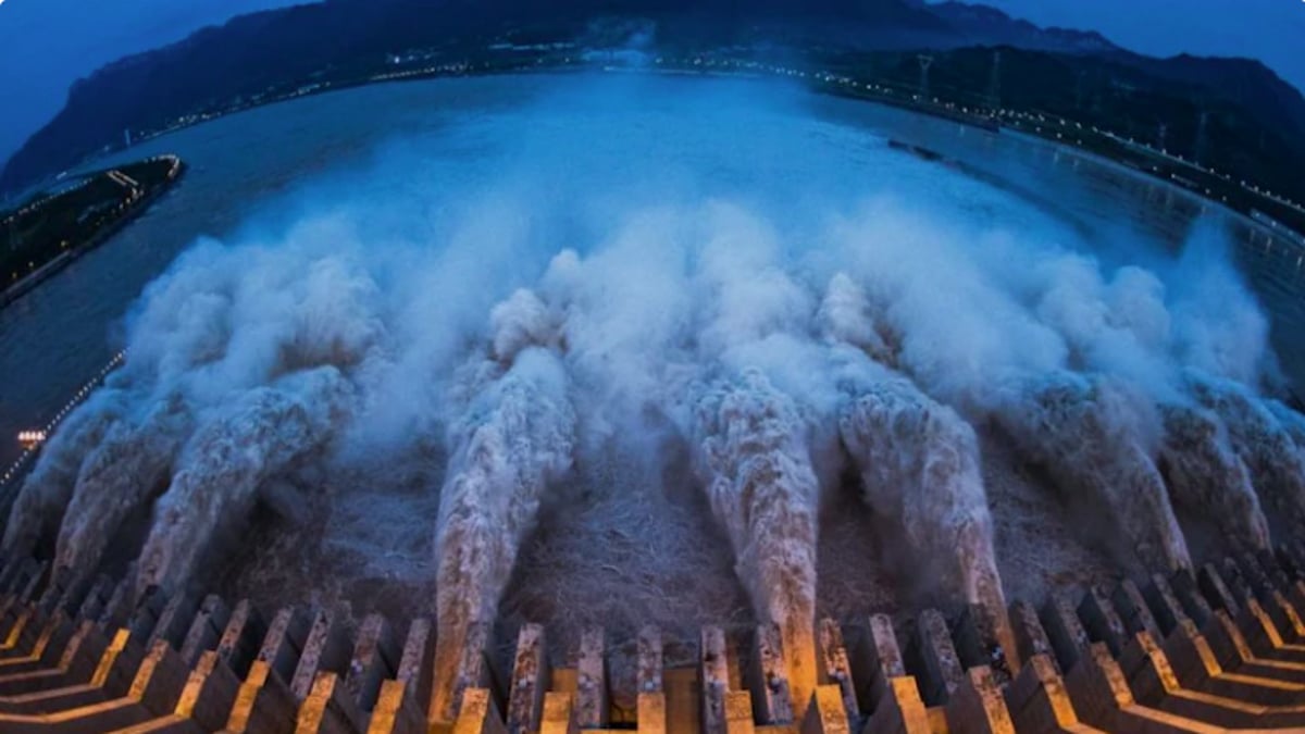
A groundbreaking geological study from within China has validated India's long-standing warnings regarding the world’s largest hydropower project. For years, New Delhi has voiced deep apprehensions over Beijing’s construction of a massive mega-dam on Tibet’s Yarlung Tsangpo river—known downstream in India as the Brahmaputra. India has consistently warned that placing an infrastructure project of this unprecedented scale in a seismically volatile zone poses an existential threat to South Asia's water security, ecology and human lives.
Official construction on this massive mega-dam project formally commenced last year on the Tibetan Plateau, moving the controversial project from a conceptual threat to an active reality right along the sensitive border region.
Now, Chinese geologists have officially confirmed that an active fault line runs directly beneath the reservoir and construction zone, according to a report in the South China Morning Post. This internal scientific admission directly undercuts Beijing's diplomatic narrative, proving that the risk of a catastrophic infrastructure failure or a sudden, weaponised water crisis is a stark geological reality.
Why this internal study shatters China’s official safety claims
Crucially, this new study directly exposes a massive contradiction in the Chinese government's official claims that the mega-dam is completely safe and poses zero risk to downstream nations. For years, China’s Foreign Ministry spokespeople, including Mao Ning and Guo Jiakun, have repeatedly pacified international alarm by insisting the dam had gone through "rigorous scientific verification" and would "not negatively affect the lower reaches."
However, because this new research was conducted by state-supervised entities—including the Civil-Military Integration Centre of the China Geological Survey—it serves as an undeniable internal reality check. The geologists' urgent directive for engineers to implement heavy retaining protections and slope reinforcements to stave off catastrophic landslides completely shatters Beijing’s public rhetoric, proving that the state’s political assurances of absolute safety are fundamentally at odds with their own scientific data.
What Chinese scientific team uncover beneath the reservoir
The study, published in the Chinese-language journal Sedimentary Geology and Tethyan Geology, highlights that the mega-dam is being built on an environmental time bomb. Conducted by researchers from the Chengdu University of Technology and regional natural resource observation stations, the paper explicitly identifies the Paizhen Fault as a highly active fracture running directly through the downstream construction site.
The geologists warned that the rock formations surrounding the project area possess a loose structure and weak cohesion. They concluded that long-term immersion under reservoir water, combined with ongoing tectonic shifts, will severely compromise the foundation’s bearing capacity. This condition makes the slopes on both sides of the reservoir highly susceptible to sudden collapses validating India's warnings that the geography itself cannot safely support a project of this magnitude.
Where and how the dam's location is tectonically trapped
The mega-dam is situated just 50 kilometres from the Indian border of Arunachal Pradesh, right at the legendary "Great Bend" where the Yarlung Tsangpo loops sharply through the world's deepest gorge. Geologically, this site is positioned along the volatile boundary where the Indian and Eurasian tectonic plates collide, making it part of the Himalayan seismic belt—the zone with the most frequent and violent earthquakes in the region.
The research team noted that the Paizhen Fault network has been active since the Ice Age and moved as recently as 9,500 years ago. To highlight the current seismic threat, they cited a powerful magnitude 6.9 earthquake that struck Milin, Tibet, in 2017 at the northern edge of this very fault line. Attempting to build a project designed to generate 300 billion kilowatt-hours of electricity—triple the output of the Three Gorges Dam—in a known disaster zone introduces unprecedented physical risk.
Why the project fuels India’s fears of a water war
Beyond the immediate physical dangers, the confirmation of the fault line intensifies India's deep anxieties over how Beijing could exploit this infrastructure. In a transboundary river system where political ties are already strained by territorial border disputes, the mega-dam hands China immense, unilateral leverage over South Asia’s primary water corridor.
The Ministry of External Affairs (MEA) has long feared that a $137 billion infrastructure project would allow Beijing to effectively weaponise the river's flow. During periods of geopolitical tension or regional drought, China could choke off upstream waters to devastate agriculture and livelihoods in northeast India and Bangladesh. Conversely, the massive reservoir could be used to store and abruptly release immense volumes of water, turning a structural vulnerability into an intentional tool of downstream flooding.
How a compromised dam threatens livelihoods of millions downstream
If a major earthquake along the Paizhen Fault triggers a structural breach or a massive landslide into the reservoir, the resulting fallout would be an absolute catastrophe for lower riparian states. A sudden failure of the world's largest dam would send an unstoppable wall of water surging through the Himalayan foothills into Arunachal Pradesh and Assam, before continuing into Bangladesh as the Jamuna River.
This nightmare scenario would unleash instantaneous, widespread destruction erasing indigenous tribal communities, obliterating unique river ecosystems and permanently destroying the agricultural foundations that sustain millions of lives. By documenting the severe lack of structural stability at the site, China’s own scientists have elevated India’s geopolitical concerns from speculative warnings into a documented regional emergency.

