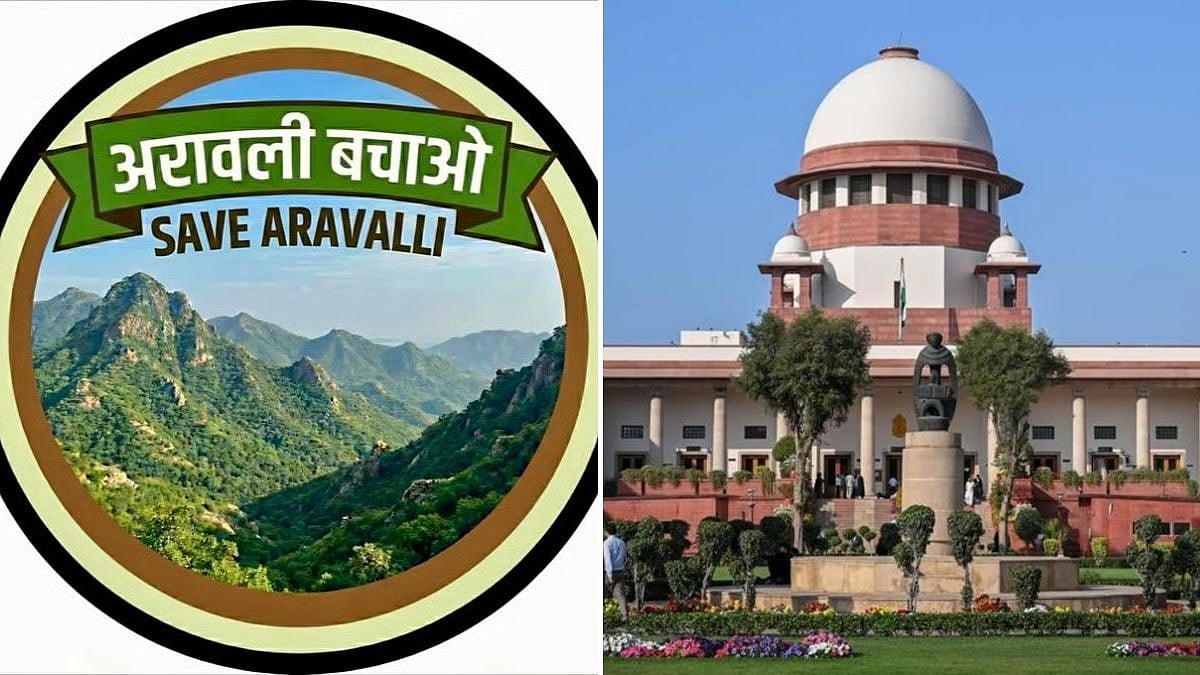
The high-powered committee (HPC) appointed to define the Aravalis has told the Supreme Court that the ancient mountain range cannot be identified using a single criterion such as terrain or height. The panel has sought six more months, until Feb 27, to complete its work and submit its recommendations.
The committee said the task requires geospatial analysis, field validation, examination by experts and consultations with stakeholders. The exercise assumes particular importance because a restrictive definition could potentially exclude ecologically connected hills, forests, aquifers and other landscapes from the protection framework. Such exclusions could affect the ecology of the northern plains and make Delhi-NCR more vulnerable to dust storms.
Why A Single Yardstick Falls Short
The HPC was constituted by the Supreme Court after an Environment Ministry panel's definition of the Aravalis triggered widespread protests, particularly in Rajasthan. The earlier definition recognised only hills with an elevation of 100 metres or more as part of the Aravalis.
The Supreme Court adopted that definition in November 2025 but stayed its judgement the following month. It subsequently constituted the HPC in May 2026. The committee, which was originally asked to submit its report by Aug 31, is led by 1991-batch Indian Forest Service (IFS) officer Kanchan Devi, Director-General of the Indian Council of Forestry Research and Education, Times Of India reports.
“The work undertaken so far has evidenced the breadth, scientific complexity and wider implications of the issues requiring examination,” the HPC said in its compliance report.
It added that the questions before the committee “cannot appropriately be addressed through a single terrain-based criterion or a single source of evidence”.
The committee's assessment underlines the difficulty of drawing a rigid boundary around a mountain system that is neither geographically nor ecologically uniform. For any definition to offer meaningful protection, the panel's findings suggest it will have to account for the relationships between the Aravalis' hills, forests, water systems and other ecologically significant areas rather than treating individual elevations in isolation.
Looking Beyond Hills And Ridges
The HPC said it is bringing together spatial, ecological, geological, hydrological, socio-economic and stakeholder evidence. It is considering an Aravali Ecosystem Landscape framework that would assess the range as more than merely a collection of hills and ridges.
The approach will examine geological and geomorphological features, terrain, watersheds, hydrological systems, forests, biodiversity and ecological connectivity. It will also cover recorded forests, protected areas, wetlands, critical catchments, groundwater recharge areas, sacred sites, traditional pastures and areas of archaeological significance.
According to the committee, the Aravalis need to be understood “through multiple interrelated dimensions”.
Its field assessment from Aug 6 to Aug 11 reinforced this approach. The panel said it found the Aravalis to be, in large parts, “a connected landscape with interlinked ecological, hydrological, biodiversity and socio-cultural values”.
The findings point towards an ecosystem-based approach rather than one governed solely by elevation. Such an approach could be significant because the committee itself has recognised that the range's ecological value extends beyond visible hills and ridges.
Mining Impact Under Scanner
The committee is also examining the impact of mining, stone quarrying, stone crushing and unregulated sand mining on drainage systems, topography, water systems and biodiversity.
It has received 680 representations so far from farmers, local communities, mining-sector stakeholders, residents, civil society groups and government bodies.
The number and diversity of representations also show how widely the eventual definition could be felt. The committee's task is therefore not simply one of mapping geographical features but of assessing ecological, hydrological and socio-economic considerations before recommending where protection should apply.

‘Aravalis Should Be Considered One Ecosystem’
Former south Haryana forest conservator RP Balwan, who had moved the Supreme Court against the Environment Ministry panel's 100-metre definition, argued that the geological origin of the mountain range makes definitions based on height or gaps problematic.
“The Aravali range was formed by tectonic compression during ancient plate collisions. The gaps and height of the range are immaterial. For example, the Himalayas are one irrespective of the political boundary. Aravalis should be considered as one ecosystem,” Balwan said.
The HPC's request for more time reflects the complexity of arriving at a definition capable of accounting for the Aravalis' varied terrain and interconnected ecosystems. With its final recommendations now sought by Feb 27, the committee's eventual framework could determine how the range is understood for the purposes of environmental protection.

