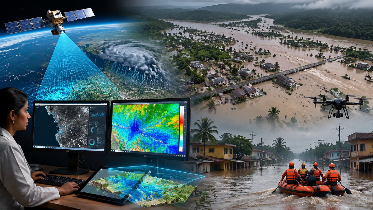
Mumbai: In a significant step towards improving disaster preparedness amid increasing instances of extreme rainfall and flooding, researchers at the Indian Institute of Technology (IIT) Bombay have developed an advanced artificial intelligence (AI)-based system capable of accurately predicting flood-prone areas and estimating potential water depth.
Developed by Civil Engineering Researchers at IIT Bombay
The AI model uses satellite radar data and terrain elevation information to identify flood-risk zones and forecast water levels, offering authorities a powerful tool for early warning and disaster management.
The system has been developed by Kashish Sadhwani and Prof. T. I. Eldho from the Department of Civil Engineering at IIT Bombay. It is capable of generating flood inundation maps at a 30-metre resolution across the ecologically sensitive Western Ghats coastal belt in southern India.
Outperforms Conventional Rainfall-Only Forecast Methods
The research covered nearly 55,000 square kilometres, stretching from Uttara Kannada district in Karnataka to Kanyakumari in Tamil Nadu. According to the researchers, the AI model demonstrated an accuracy of more than 93 per cent in identifying flood-prone areas.
Unlike conventional flood forecasting methods that rely primarily on rainfall data, the new model incorporates multiple environmental factors, including surface runoff, soil moisture, land use, soil infiltration capacity and drainage conditions. This enables a more realistic assessment of flood risk, said researcher Kashish Sadhwani.
Currently for Slopes Under 7%, But Adaptable for Cities
The researchers believe the system can significantly strengthen disaster management by helping authorities prioritise vulnerable areas, plan evacuations, deploy rescue teams efficiently and optimise the use of limited resources before floods occur. This could reduce both loss of life and property during extreme weather events.
At present, the system has been developed primarily for regions with terrain slopes of less than seven per cent. However, the researchers expressed confidence that it can be adapted in the future for complex urban landscapes such as Mumbai and other coastal regions.
Two-Stage Model: Classifies Risk, Then Estimates Depth
With climate change contributing to more frequent episodes of extreme rainfall and flooding, the researchers say the AI-based platform is more than just a flood prediction model. It has the potential to become an effective decision-support tool for future disaster management and climate resilience.
Two-Stage AI Model
The system operates using two separate machine learning models. In the first stage, it classifies whether a particular area is vulnerable to flooding. In the second stage, it estimates the likely depth of floodwater in that location.
This enables authorities to identify in advance which roads, schools, hospitals and residential areas are at risk of inundation.
The model uses Synthetic Aperture Radar (SAR) imagery from the European Space Agency's Sentinel-1 satellite. Unlike conventional optical satellite imagery, SAR technology can accurately capture changes on the ground even through dense cloud cover and heavy rainfall, making it particularly suitable for flood monitoring.
How the System Can Support Disaster Management
The AI-powered platform is expected to:
* Strengthen flood early warning systems.
* Identify roads, bridges, schools, hospitals and villages likely to be affected before flooding occurs.
* Improve planning for evacuations and rescue operations.
* Help authorities accurately deploy NDRF, SDRF, health teams and relief supplies.
* Support urban planning, regulation of construction in riverbank areas and management of flood-prone regions.

