10 Google Maps Features Indians Don't Know About (But Should)
Google Maps offers several lesser-known features for Indian users, including ‘Ask Maps’ for AI trip planning, immersive 3D navigation, auto-updating offline maps, and AR-based walking directions. It also includes tools like collaborative lists, accessible place filters, and Incognito mode, helping users navigate smarter, plan better and maintain privacy.

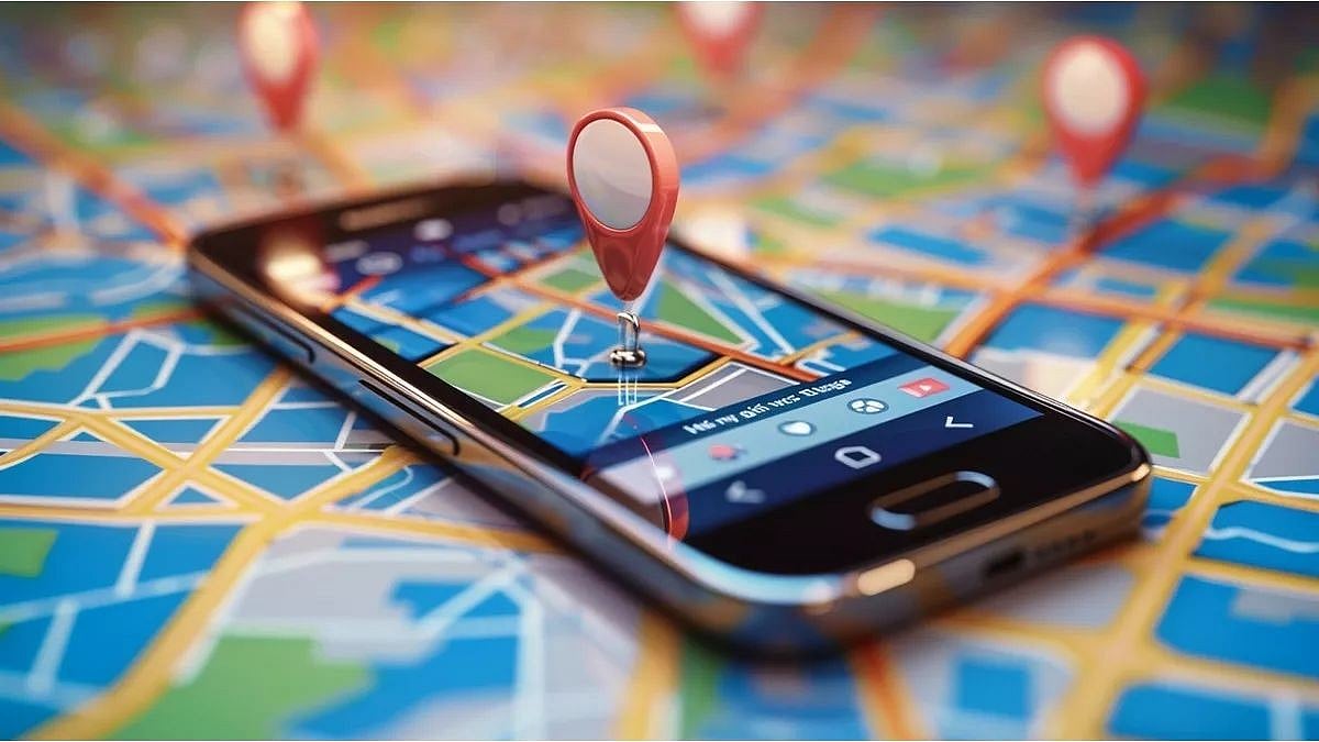
Google Maps' is used by most Indians to navigate, find a location, or even find a petrol station nearby. It is installed on every smartphone in India, and has become a staple go-to when going somewhere. While we know all of the basic features that Google Maps offers, there are a few features that are extremely useful, but not many people know about.
Here's a list of lesser known features on Google Maps that Indians must know about:
1. Ask Maps: Chat like you would with a normal person
The headline feature. Tap the 'Ask Maps' button below the search bar and type a question in plain language, "I'm driving from Mumbai to Pune on Saturday, where should I stop for lunch, avoiding highways, and reach before 3pm?"
Gemini AI builds you an itinerary with ETAs, user reviews, and directions. It draws on over 300 million places and 500 million community reviews. This feature is available for all users in India on Android and iOS; desktop coming soon.
How to use: Update Google Maps tap 'Ask Maps' below the search bar > type your question.
2. Immersive Navigation: 3D Driving with real buildings
Google's biggest driving update in over a decade replaces the flat blue arrow with a photorealistic 3D view of your actual route, showing real buildings, overpasses, traffic lights, crosswalks, and lane markings as you approach them. At complex flyovers and interchanges a daily reality in Indian cities, Maps now shows transparent buildings so you can see the turn behind them.
How to use: Start navigation > tap the 3D icon in the top-right corner of the navigation screen.
ALSO READ
3. Offline Maps, now with auto-update
Everyone knows you can download maps offline. Fewer people know that a 2026 update now automatically refreshes downloaded maps when you're on Wi-Fi , so your offline map always has current road and construction data. For users in areas with patchy data, this is essential.
How to use: Search a city or region → tap Download → Maps handles updates automatically.
4. 'Know Before You Go' summaries
Search any restaurant, shop, or attraction and scroll up on its listing. You'll find an AI-generated summary pulling together the most relevant details from user reviews: what's popular, what to avoid, how long waits tend to be, and whether parking is available. No more reading through 200 reviews.
How to use: Search a place > scroll up on its info card to find the Know Before You Go section.
5. Live View AR navigation on foot
Point your phone camera at the street and Maps overlays walking arrows and business names directly onto the live camera feed. In dense Indian markets, this is far more useful than a 2D map. Available in Mumbai, Delhi, Bengaluru, Hyderabad, Chennai, and Pune, with more cities coming in 2026.
How to use: Enter a walking destination > tap the Live View icon (person with dot) in navigation.
6. Accessible Places Filter
In Settings > Accessibility, switching on 'Accessible Places' highlights locations on the map with wheelchair-friendly entrances, accessible restrooms, and step-free routes. Useful not just for wheelchair users but for anyone navigating with a pram, luggage, or an elderly family member.
How to use: Settings > Accessibility > turn on Accessible Places.
7. Collaborative lists for Group Trips
Create a list of restaurants, hotels, or attractions and share it with friends or family who can add their own suggestions, photos, and ratings. Think of it as a shared Google Doc, but for places, and a genuine replacement for the WhatsApp forwards that precede every group trip.
How to use: Tap Saved > Lists > New List > Share.
8. Your Timeline: A Map of Your Movements
Under your profile menu, 'Your Timeline' keeps a chronological map of every place you have visited, the routes you took, and roughly how long you spent at each location. Privacy controls let you pause, delete, or export all data at any point. Google's VP Miriam Daniel has confirmed it does not connect to Gmail or other Google apps, only Maps activity.
How to use: Tap your profile photo → Your Timeline.
9. The Hidden Measure Distance Tool
Tap and hold anywhere on the map to drop a pin, then scroll down on the card that appears and tap "Measure distance." You can add multiple points to calculate the straight-line or path distance between them. Useful for figuring out whether a plot of land is actually the size the broker claims, or how far that "five-minute walk" really is.
How to use: Tap and hold any point on the map > Measure distance.
ALSO READ
10. Incognito mode for private searches
Like Chrome, Google Maps has an Incognito Mode that stops the app from saving your searches, viewed places, or routes to your account. Nothing you do in Incognito affects your recommendations or timeline. Useful when planning a surprise, or simply when you do not want Maps personalising suggestions based on a one-off search.
How to use: Tap your profile photo > Turn on Incognito Mode.
RECENT STORIES
-
-
-
-
-