Madhya Pradesh January 22, 2026, Weather Update: Intense Cold, Fog & Light Rain Likely From January 25
Madhya Pradesh is set to witness a sharper winter spell from January 25 as minimum temperatures are expected to drop by 2 to 3 degrees Celsius. Light rain and fog in northern districts, triggered by active Western Disturbances, will further intensify the cold across several parts of the state.

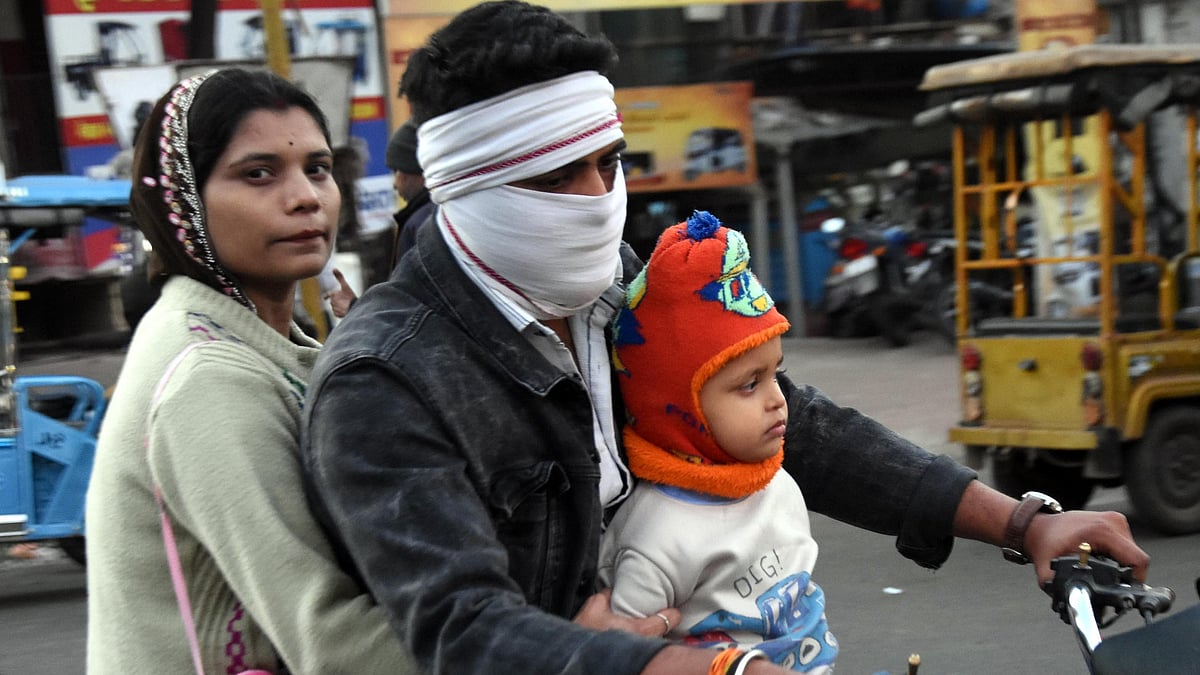
Madhya Pradesh January 21, 2026, Weather Update: Temperatures To Plunge As Intense Cold, Fog And Light Rain Set In From January 25 | FP Photo
Indore (Madhya Pradesh): After a brief respite from chilly winds and intense cold, the state is expected to experience another intense spell of severe cold in the last week of January.
On Thursday morning, five districts, including Gwalior and Datia, observed moderate fog. Mandsaur remained the coldest, with the minimum temperature dropping below 5.1°C.
Meanwhile, the Bhopal Meteorological Center has issued an alert, stating that the cold will intensify across the state due to winter showers and fog. According to the Meteorological Department, the northern areas of Gwalior, Bhind, and Datia are expected to receive rainfall on Friday, which will further intensify the chill.
Rain Alert in these districts of MP
The weather department issued a rain alert in several districts, including Gwalior, Morena, Bhind, Datia, Niwari, Tikamgarh, and Chhatarpur. Along with this, the minimum temperature in several districts is expected to drop by 2 to 3 degrees Celsius from January 25.
Several districts recorded below 10°C
Amidst the intense cold in the state, many districts recorded temperatures below 10°C. Rajgarh recorded 6.2°C, Naugaon 7°C, and Shajapur 7.1°C. The minimum temperature in Karaundi in Katni district dropped to 7.6°C, and in Datia it was 7.9°C. Khajuraho recorded 8°C, Rewa 8.2°C, and Shivpuri recorded 9°C.
According to the weather department, a Western Disturbance is currently located over northern Pakistan as an upper-air cyclonic circulation. A trough along with an upper-air cyclonic circulation is also present over northwestern Uttar Pradesh.
Another Western Disturbance persists as a cyclonic circulation in the upper atmosphere over northeastern Iran is active. Jet stream winds continue to blow at a speed of 222 km/h at an altitude of 12.6 kilometers over Northeast India. Adding to it, a new Western Disturbance is likely to affect Northwest India from January 26
A senior meteorologist stated that due to the consistent arrival of Western Disturbances, a severe cold wave is unlikely for now. Nighttime temperatures may drop after three days as the Western Disturbance moves eastward. There is also a possibility of scattered rainfall in some districts of the Gwalior and Chambal divisions.
RECENT STORIES
-
-
-
-
-