UN Map Correction: There’s No Easy Way Out
The UN’s push for equal-area map projections aims to correct distortions in the apparent size of continents, but cartographic changes cannot resolve disputed borders. India has backed the initiative while stressing that Jammu and Kashmir and Ladakh must follow its official map, highlighting the difference between geographical accuracy and territorial claims.

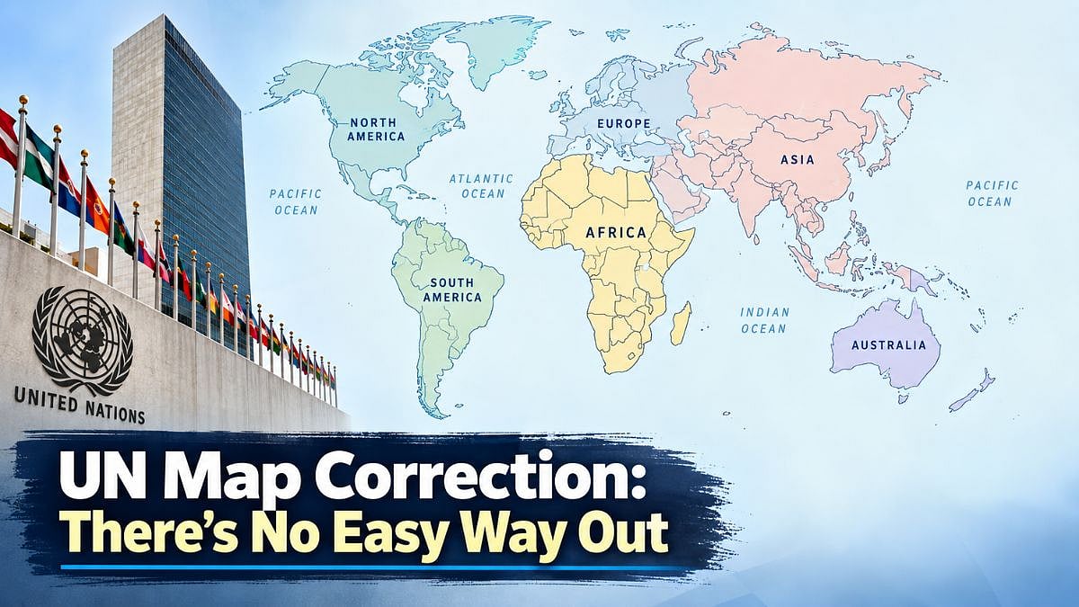
The UN’s push for equal-area maps has renewed debate over geographical accuracy and disputed international boundaries | AI Generated Image
Map correction is not an easy task. The United Nations must have realised this soon after adopting a resolution to promote equal-area map projections that more accurately show the true size of Africa and other continents.
The resolution, a bold attempt to correct a centuries-old cartographic distortion, was supported by 164 countries, with only the United States opposing it and six abstaining. India voted in favour.
There is nothing wrong with correcting a distortion. But, like medicines, corrections can sometimes produce unexpected side effects. The 16th-century Mercator projection does make Africa appear much smaller than it is in relation to North America and Europe.
Yet, there is a basic fact that should not be forgotten: the Earth is a globe, while a map is a flat sheet of paper. It is impossible to transfer the surface of a sphere to a plane without some distortion.
Mercator Projection’s Purpose
Mercator’s projection was created primarily to help sailors navigate. For a captain sailing from Mumbai to Cuba, the precise relative size of continents was irrelevant. What mattered was reaching the right port and anchoring there safely.
For nearly five centuries, the projection served that purpose remarkably well. The new initiative has a different objective. It encourages governments, schools, international organisations, and technology companies to use equal-area projections, such as Equal Earth, when the relative size of landmasses matters.
That is a worthwhile objective. But cartography becomes much more complicated when it moves from geography to geopolitics. India has already discovered the problem.
Its boundary with China is disputed, and no map acceptable to New Delhi is necessarily acceptable to Beijing. China claims the whole of Arunachal Pradesh and parts of Ladakh, including Aksai Chin, while India regards these territories as integral parts of the country.
Maps And Territorial Disputes
The McMahon Line, drawn during the colonial period, has itself been a source of enduring controversy and conflict. A line on a map can, therefore, have consequences far beyond cartography. India has rightly clarified that its vote does not amount to an endorsement of any particular projection or political map.
It has also insisted that Jammu and Kashmir and Ladakh must be depicted according to India’s official map. This distinction is crucial. A map showing the correct size of Africa is one thing; a map deciding the ownership of disputed territory is quite another. The UN resolution is non-binding and does not settle borders.
There are disputed boundaries in many parts of the world. They cannot be wished away by changing cartographic projections. The UN should, therefore, correct geographical distortions without pretending that it can correct political disputes. Creating a map acceptable to everyone would be as difficult as creating a photograph in which everyone looks equally beautiful.
RECENT STORIES
-
-
-
-
-