UP Plans 100% House Mapping, Land Geotagging Using Space Technology; Experts Push AI-Based Solutions In Lucknow
A two-day Space Applications Adoption Workshop concluded in Lucknow on October 9, bringing together government officials and geospatial experts. Chief Secretary S.P. Goyal called for complete land geotagging and house mapping, while Minister Anil Kumar urged satellite technology adoption in agriculture and disaster management.

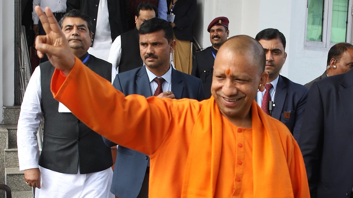
UP Plans 100% House Mapping, Land Geotagging Using Space Technology; Experts Push AI-Based Solutions In Lucknow | File Photo
Lucknow, October 9: The two-day Space Applications Adoption Workshop, organized by the Remote Sensing Applications Center, Uttar Pradesh, in collaboration with IN-SPACe under the Department of Space, Government of India, and the Department of Urban Development, concluded successfully today. The event, held at the Roopam Auditorium, brought together experts from the Department of Space, Government of India, the geospatial industry, and various state government departments on a common platform.
Science and Technology Minister Anil Kumar urged IN-SPACe experts and industry partners from across the country to make greater use of modern space technologies to improve farming practices for the state’s farmers, increase crop yields in areas with limited irrigation facilities, and strengthen preparedness for droughts and floods.
He also emphasized using these technologies in governance, healthcare facilities, education networks, and the scientific planning of safe bridges, roads, and canals, so the resolve of Viksit Uttar Pradesh 2047 could be realized.
Chief Secretary S.P. Goyal stressed the need to geotag all land parcels across the state, saying it would help farmers identify the exact boundaries of their fields and resolve land disputes. He also called for 100 percent mapping of houses through space applications to assess house tax, enabling the Department of Urban Development to augment its resources.
The Department of Science and Technology, Uttar Pradesh, played a commendable role throughout the event. The department not only conceptualized the workshop and ensured its successful implementation but also, through the Remote Sensing Applications Center, advanced the practical application of satellite-based technologies in sectors such as agriculture, forestry, water, land resources, urban planning, infrastructure and disaster management.
Principal Secretary Pandhari Yadav provided detailed information on the department's work. At the same time, Special Secretary and RSAC-UP Director Ramesh Chandra called for integrating space technology with innovation and artificial intelligence to accelerate the state’s development.
During the workshop, Dr Aniruddh Uniyal, senior scientist at the Remote Sensing Applications Center, delivered an important presentation on minerals, water and disaster management. Scientist Alok Saini presented on urban development and infrastructure, while Dr P.P.S. Yadav presented on the PM Gati Shakti National Master Plan. Experts from more than 50 state departments and districts, including Urban Development, Housing, Transport, Energy, Health, Education, Agriculture, Irrigation, Forestry and Rural Development, participated in the workshop. Twenty-two industry partners presented technological solutions, while 75 private firms participated actively.
Scientists from the Department of Space, the Geological Survey of India, the Remote Sensing Applications Center, and the Council of Science and Technology, along with district magistrates from several districts, also participated.
In the concluding session, representatives of various state government departments and leading companies associated with space applications held a round-table discussion, during which they discussed technological solutions to the departments' challenges in detail.
Through the Department of Science and Technology's sustained, forward-looking efforts, Uttar Pradesh is emerging as one of the leading states in adopting space technology at the grassroots level. The workshop marks a significant step towards good governance, enhanced productivity, and sustainable development.
RECENT STORIES
-
-
-
-
-