Uttarakhand Launched Expedition To Map 100 Major Trekking Routes Using GPS And GIS Technology
On Friday, Chief Minister Pushkar Singh Dhami flagged off an expedition team to conduct GPS (Global Positioning System) and GIS (Geographic Information System) mapping and technical surveys of 100 major trekking and hiking routes across the state. The initiative focuses on documenting trekking and hiking trails, with major emphasis on trekking safety, navigation, and emergency response.

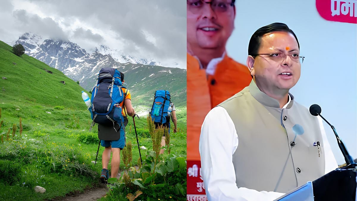
Uttarakhand Launched Expedition To Map 100 Major Trekking Routes | X
Uttarakhand Chief Minister Pushkar Singh Dhami flagged off an expedition team tasked with mapping 100 major trekking routes across the state using GPS/GIS technology. The initiative aims to improve navigation and safety for trekkers exploring its mountain trails. It also aims to support the development of an offline GPS navigation application that can help trekkers access route information even in areas with limited or no mobile network connectivity.
CM Dhami flagged off map exploration expedition
On Friday, Chief Minister Pushkar Singh Dhami flagged off an expedition team to conduct GPS (Global Positioning System) and GIS (Geographic Information System) mapping and technical surveys of 100 major trekking and hiking routes across the state. The initiative focuses on documenting trekking and hiking trails, with major emphasis on trekking safety, navigation, emergency response, and tourism infrastructure in the Himalayan terrain. The state is home to several popular trekking destinations, ranging from routes around high-altitude valleys and meadows to trails leading to religious and heritage sites.
The mapping exercise will support online and offline GPS navigation
Accurate mapping of these routes can provide trekkers with information about trail locations, distances, and other relevant navigation details. Offline access could be particularly useful in remote mountain areas, where connectivity can be unreliable or unavailable. According to Tourism Secretary Dheeraj Garbyal, the mapping exercise will support the development of an online and offline GPS navigation application covering all 100 routes. The survey will also identify suitable locations for campsites, dustbins, and toilets, supporting future infrastructure and waste management for environmental protection.
ALSO READ
During the flag-off event on Friday, CM Pushkar Singh Dhami said, "This is the first time such an innovation is being implemented in Uttarakhand, offering great convenience. A navigation app is also being developed for this purpose, and I believe that in the future, people from other places and states will also benefit from this kind of app."
RECENT STORIES
-
-
-
-
-